What is recorded here
In improved pasture, on a NE-facing slope. The denuded remains of a rectangular area (dims. 30m NW-SE; 26m NE-SW) defined by a levelled bank, which is reduced to scarp (Wth 0.65m; H 0.2m), best preserved along NW side (L 26m) but is generally slight (Wth 0.9m; H 0.12m) defining the remaining sides to NE (L 29m), SE (L 27m) and SW (L 30m) and a backfilled fosse (overall Wth 4.4m; basal Wth 2m; D 0.15m) to NE, SE and SW which is best preserved along the NW side (overall Wth 4.85m; basal Wth 1m; D 0.35m). The interior slopes down to the NE. A drainage channels extend from the fosse at either end of the SW side. According to local information there is a spring to the NW of the fosse which was blocked up during 2009. There are undulations within the surrounding field but these form no discernible pattern.
Compiled by: Jean Farrelly
Date of upload: 26 August 2011
The monument record does not grant public access. Check the route and ask the landowner before entering private land.
- What survives
- Recorded monument
Places near here
 Enclosure in RathkennyEnclosure · 1102 yd
 Knockkelly CastleCastle · 1299 yd
 Enclosure in KnockkellyEnclosure · 1489 yd
 Ballinard CastleCastle, tower house · 1.1 mi
 Brook Hillhouse · 1.3 mi
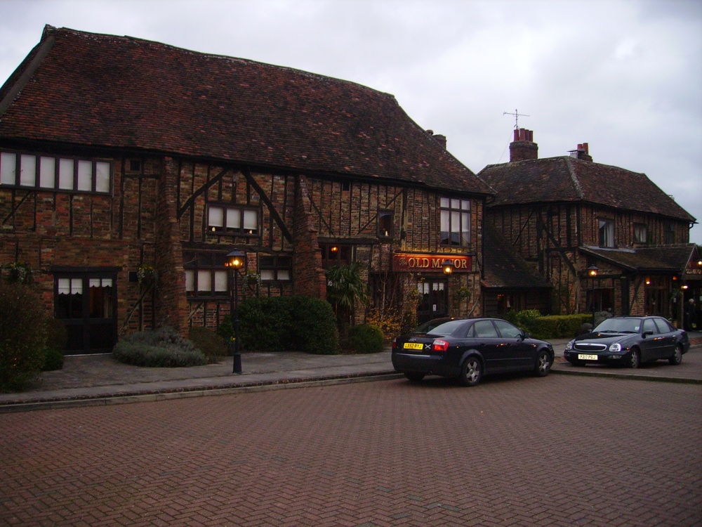 Old Manor Ho. (in ruins)House, 17th century · 1.3 mi
 Kilknockan HillMountain / peak · 1.8 mi
 East GateMemorial · 2.6 mi
 European YewEuropean Yew · 2.7 mi
 Grove WoodForest · 3.2 mi
 Eagle HillMountain / peak · 3.8 mi
 Gobban Saer's GraveArchaeological place · 8.4 mi