What is recorded here
In pasture, on a W-facing slope. Sub-rectangular area (dims. 33m N-S; 26m E-W) defined by remains of earthen bank (overall Wth 7m; Wth at top 3m; int. H 0.45m; ext. H 1.45m) to N, S and short return at N-end of W-side. S-half of W-side is disturbed, possibly by quarrying. Enclosing elements absent on E-side, as per latest edition OS 6-inch map. Fosse (overall Wth 6.6m; basal Wth 3.7m; D 0.3m) along N-side and a feint trace at S. Interior slopes down sharply to W, with prevalent slope. Swallow hole and deep land drain (long axis E-W) to immediate S and SW respectively.
Compiled by: Jean Farrelly
Date of upload: 26 August 2011
The monument record does not grant public access. Check the route and ask the landowner before entering private land.
- What survives
- Recorded monument
Places near here
 IndicatedEnclosure · 376 yd
 Enclosure in MobarnanEnclosure · 408 yd
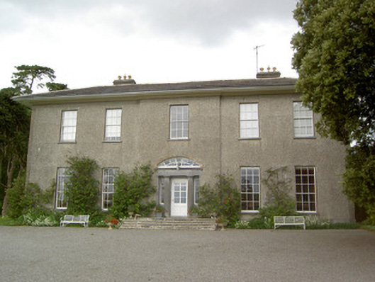 Mobarnan Housecountry house · 1454 yd
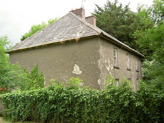 Knockbrit Constabulary Barrackbarracks · 1467 yd
 CastleCastle, tower house · 1468 yd
 Bawn in Ballyvadin (magorban Par.)Bawn · 1.1 mi
 European YewEuropean Yew · 4.4 mi
 Ballyknock HillMountain / peak · 4.4 mi
 Cashel Folk MusuemMuseum · 4.9 mi
 Black mulberryBlack mulberry · 4.9 mi
 The Rock Of CashelVisitor information · 5.0 mi
 Cormac's ChapelHeritage attraction · 5.0 mi