What is recorded here
In reclaimed grassland. Cropmark of subrectangular-shaped area (approx. int. dims. 34m E-W) defined by a ditch visible on Digital Globe orthophoto taken 2011-13 and earlier OSi orthoimages. Cropmark of earthwork visible on Google Earth orthoimage taken 05/02/2009. Drainage ditches visible in field, this earthwork may be related to post-1700 land reclamation groundworks. Alternatively could be the remains of a possible moated site.
See attached Google Earth orthophoto taken 05/02/2009
Compiled by: Caimin O’Brien
Date of upload: 31 May 2020
The monument record does not grant public access. Check the route and ask the landowner before entering private land.
- What survives
- Recorded monument
Places near here
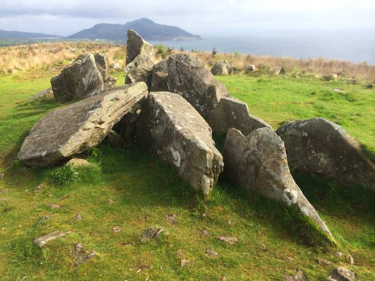 Giants Grave (1924).Wedge tomb · 831 yd
 Ecclesiastical enclosure in KilmacowEcclesiastical enclosure · 861 yd
 Abbey (in ruins)Church · 869 yd
 KnockfeerinaMountain / peak · 1118 yd
 Kilmacow Church (in ruins)Church · 1290 yd
 Famine stoneMemorial · 1365 yd
 Kilmacow Ho.Bawn · 1735 yd
 Kilfinny CastleCastle · 1.8 mi
 Kinnoor WellSpring · 2.1 mi
 Flat cemetery in Kiltenan SouthFlat cemetery · 3.0 mi
 Dysert AenghusaHeritage attraction · 3.8 mi
 Our Lady's WellSpring · 4.6 mi