
What is recorded here
In pasture, on terrace in generally N-facing slope. Roughly D-shaped area (straight side 29.5m N-S; 29m E-W) defined by scarped edge (H 1.15m; Wth 9.15m). Below scarp is terrace (Wth 2.2m) N->ESE, beyond which is ground falls away sharply. Interior is under pasture and level. No trace evident of rectangular church, named 'Abbey (in ruins)' on 1841 OS 6-inch map, which stood in centre of enclosure until demolished c. 1880 (see LI030-085001-).
Compiled by: Denis Power
Date of upload: 26 August 2011
A local fairy fort (ringfort/rath); wider significance not recorded.
The monument record does not grant public access. Check the route and ask the landowner before entering private land.
- What survives
- Recorded monument
Places near here
 Abbey (in ruins)Church · 13 yd
 Enclosure in KilmacowEnclosure · 222 yd
 Kilmacow Church (in ruins)Church · 727 yd
 Kilmacow Ho.Bawn · 926 yd
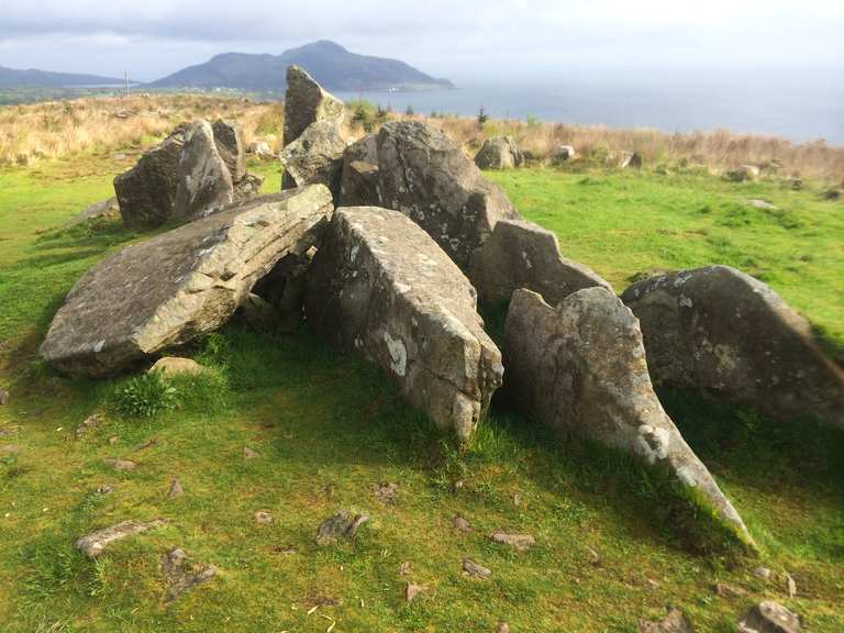 Giants Grave (1924).Wedge tomb · 1195 yd
 KnockfeerinaMountain / peak · 1531 yd
 Famine stoneMemorial · 1.2 mi
 Kilfinny CastleCastle · 1.6 mi
 Kinnoor WellSpring · 1.8 mi
 Flat cemetery in Kiltenan SouthFlat cemetery · 3.1 mi
 Dysert AenghusaHeritage attraction · 3.3 mi
 Biodiversity in the Maigue CatchmentVisitor information · 4.2 mi
Other information
Photo: Credit not shown in the picture search · Rights wording not checked; contact us if this picture should be removed