What is recorded here
In level grassland immediately to the NE of a stream. When visited in October 1980 this rectangular moated site (55m N-S; 35m E-W) was defined by two banks and an intervening fosse. The inner bank (Wth 1m; max. H 0.5m) was low and narrow and best preserved on the N, W and S sides. The water-logged fosse (Wth 3-4m; D 1.5m) survived all round but was shallower on the E side. A modern drain running E-W ran through its S side (SMR file). The outer bank was low and faint and was best preserved on the N and W sides (SMR file). A series of causeways across a fosse to the NW of the monument suggested an additional defensive work. During 1981-2 the moat and associated causewayed feature were filled in during land reclamation. What survives is a raised rectangular area defined by a slight bank (Wth at top 0.65m; int. H 0.5m; ext. H 1.5m). (McCaffrey 1952, 232, no. 81)
Compiled by: Galway Archaeological Survey, UCG
Date of upload: 3 December 2019
The monument record does not grant public access. Check the route and ask the landowner before entering private land.
- What survives
- Recorded monument
Places near here
 Killogilleen Church (in ruins)Church · 229 yd
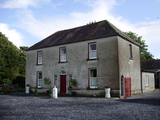 Carheen Househouse · 343 yd
 Field system in CarheenField system · 559 yd
 Cregg Castle (in ruins)Castle, tower house · 584 yd
 Structure in BallynascraghStructure · 1070 yd
 CarnanthomasCastle, unclassified · 1.3 mi
 Blake's IslandIslet · 4.7 mi
 Ash IslandIslet · 4.9 mi
 Scalpeen RockNamed rock · 5.7 mi
 Kilcornan ForestWood · 7.1 mi
 Loughaun WoodWood · 7.7 mi
 Drumacoo Monastic SiteHeritage attraction · 8.4 mi