What is recorded here
Located on a gentle E-facing slope with a small SW-NE stream c. 80m to the SE. The cropmark of a rectangular enclosure (int. dims c. 36m NE-SW; c. 34m NW-SE) defined by a moat (Wth c. 3-6m) on each side is visible on Google Earth (25/05/2017; 17/06/2018; 09/08/2017). There could be an entrance causeway towards the N end of the NW moat. It is also visible on OSAP (1995, 2000).
See the attached view from Goole Earth
Compiled by: Michael Moore
Date of upload: 25 September, 2019
The monument record does not grant public access. Check the route and ask the landowner before entering private land.
- What survives
- Recorded monument
Places near here
 Sweathouse in Kellystown (bantry By.)Sweathouse · 667 yd
 Raheennahoon HillMountain / peak · 1230 yd
 (Site of) CastleCastle, unclassified · 1.3 mi
 (Site of) Doonoonen CastleCastle, motte · 1.4 mi
 Church (in ruins)Church · 1.4 mi
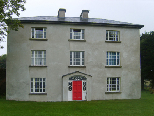 Ballybrennan Housefarm house · 1.6 mi
 Camaross HillMountain / peak · 2.6 mi
 Glenour MonumentMemorial · 2.7 mi
 Dick Joynt MemorialMemorial · 3.1 mi
 King's IslandIsland · 4.7 mi
 Coolcliffe HouseRuins · 8.6 mi