What is recorded here
Situated on a broad, low hill and abutting the inner edge of the moat of the circular moated site (WX048-023002-) at E. This is a raised rectangular area (dims. 42m N-S; 25-30m E-W) in mixed woodland defined by a moat at W (Wth 8m; D 0.8m) and S (Wth 6m; D 2.5m). There is an overgrown mound (diam. 11m; H 1.6m), perhaps spoil, at the NE corner.
The above description is derived from the published 'Archaeological Inventory of County Wexford' (Dublin: Stationery Office, 1996). In certain instances the entries have been revised and updated in the light of recent research.
Compiled by: Michael Moore
Date of upload/revision: 7 January 2014
The monument record does not grant public access. Check the route and ask the landowner before entering private land.
- What survives
- Recorded monument
Places near here
 CastleCastle, tower house · 60 yd
 Wind MillWindmill · 434 yd
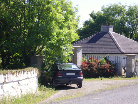 Hill Castlegate lodge · 448 yd
 Embanked enclosureFairy fort / earthen ringfort · 634 yd
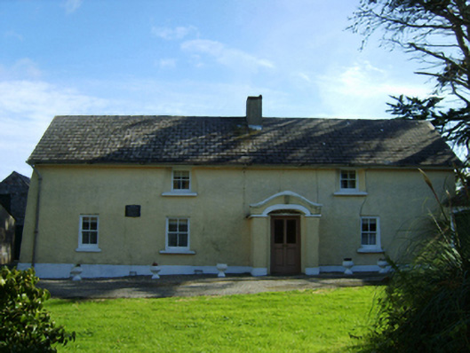 farm housefarm house · 1060 yd
 Lady's IslandVisitor information · 2.1 mi
 ScargeenIsland · 2.1 mi
 TowerBawn · 2.1 mi
 Rosslare Harbour Maritime Heritage CentreMuseum · 2.3 mi
 Birdlife of RosslareVisitor information · 2.5 mi
 Marconi HouseMemorial · 2.8 mi
 Wilson's MoorWood · 3.0 mi