What is recorded here
Gooldshill holds a trapezoidal moated enclosure roughly seventy metres wide, drawn on the 1842 Ordnance Survey map with a gently curving western edge. Much has been levelled, yet a solid earthen bank still marks the west and north boundaries while a shallow slope hints at the vanished water channel. The land beyond the north drops steeply, suggesting the site used a natural breach rather than wasting water on every side. Something lived there, defended or displayed, before field walls and industry closed around it.
Depicted as hachured trapezoidal enclosure (c. 70m E-W; c. 60m N-S) on 1842 OS 6-inch map, with W side slightly convex. In pasture, on nearly level ground; short distance to N land falls steeply down to N. Levelled; earthen bank (int. H 1.25m; ext. H 1.4m) survives to W and N incorporated in field boundary system; external fosse (D 0.1m) survives as slight slope down to base of bank. Bank on W side curves as shown on 1842 OS 6-inch map. Fosse to S clearly visible as shadow mark in aerial photograph (CASAP). Industrial development extends up to edge of enclosure on N side. Circular enclosure (13552) c. 70m to W. Listed by Barry (1981, 83, no. 38).
The above description is derived from the published 'Archaeological Inventory of County Cork. Volume 4: North Cork' (Dublin: Stationery Office, 2000). In certain instances the entries have been revised and updated in the light of recent research.
Date of upload/revision: 14 January 2009
The monument record does not grant public access. Check the route and ask the landowner before entering private land.
- What survives
- Recorded monument
Places near here
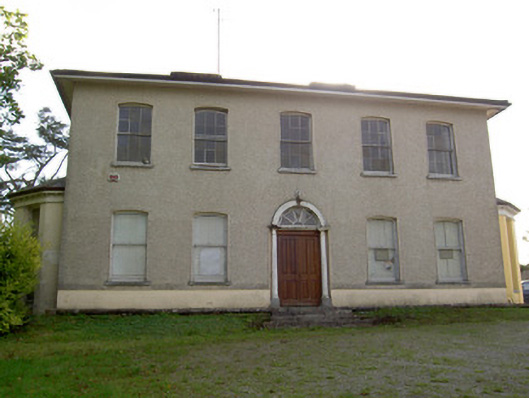 Carrokeal Househouse · 399 yd
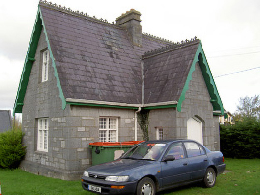 Saint Gobnait's Cemeterysexton's house · 543 yd
 Fulacht fia in GortnagraigaFulacht fia · 779 yd
 Blackwater WayWalking route · 1255 yd
 Mallow River TrailVisitor information · 1439 yd
 In loving memory of Elvis O'DonoghueMemorial · 1552 yd
 Mallow Castle RuinRuins · 1635 yd
 Corn Mill AqueductMilling complex · 1647 yd
 Mallow Castle (in Ruins)House, fortified house · 1671 yd
 KnockarouraForest · 1.1 mi
 Mallow Town Park - Maple WoodsForest · 1.2 mi
 Lover' LeapCliff · 1.4 mi