What is recorded here
In pasture on upper slope of a low hill. Remains consist of a raised rectangular shaped area (dims. 44m NNW-SSE x 37m ENE-WSW) enclosed by an earthen bank (base Wth 3.5m; int. H 0.4m; ext. H 1.4m) with external fosse (base Wth 2.6m; ext. D 0.4m) filled in from W-N-E-SE. Entrance gap (Wth 2.4m) at S appears to be modern. Interior slopes slightly to SSE. NW, NE and SE corners of platform are raised slightly
See attached sketch plan and Google Earth orthoimages.
Compiled by: Caimin O'Brien
Date of upload: 26 October 2021
The monument record does not grant public access. Check the route and ask the landowner before entering private land.
- What survives
- Recorded monument
Places near here
 Geeragh Bridgebridge · 892 yd
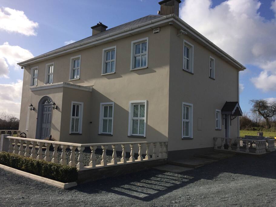 Ballyderrif HouseMill, woollen · 1505 yd
 Sundays WellHoly well · 1.1 mi
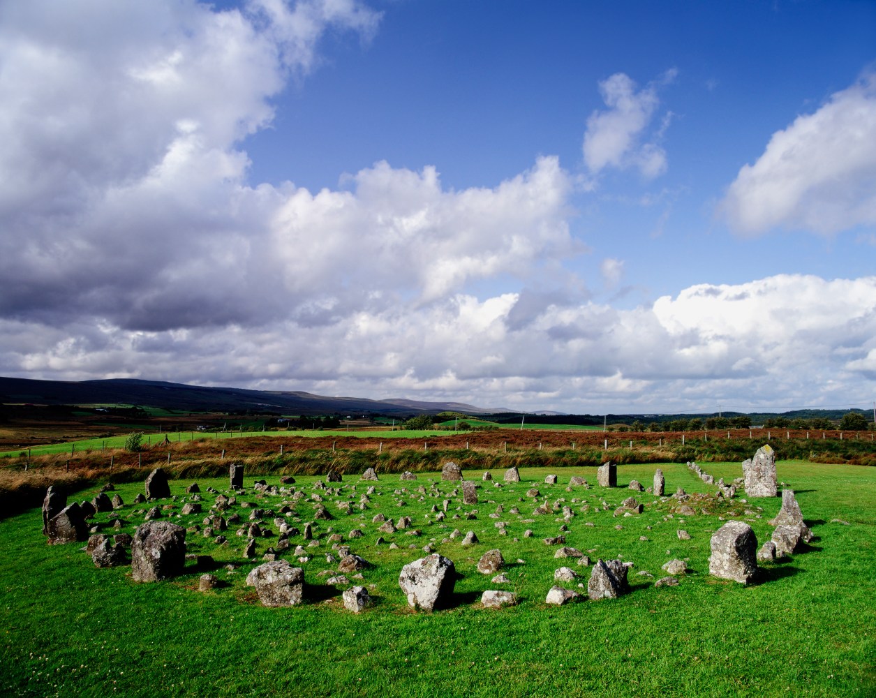 Moated site in Ballyarthur (condons and Clongibbon By., Marshalstown Par.)Moated site · 1.5 mi
 Kilbeheny Castle (in ruins)Castle, tower house · 1.7 mi
 White Knights Tower (Site of)Castle, unclassified · 1.9 mi
 John MandevilleMemorial · 2.0 mi
 Mitchelstown Town MapVisitor information · 2.0 mi
 Ballyarthur HillMountain / peak · 2.2 mi
 Statue of Saint FanahanMemorial · 2.2 mi
 Combaun WoodsViewpoint · 2.5 mi
 Paradise HillMountain / peak · 3.6 mi