What is recorded here
This rectangular enclosure is defined by an earthen bank and external fosse. It is square in plan and measures 38m N-S and 39m E-W externally. The site is extremely overgrown, so some features were difficult to determine. The width of the bank ranges from 2m-6.2m, its height .8m-1.2m externally and .4m-.8m internally. SE through E there is evidence of an external fosse which ranges in width from 2m-6.2m and in depth below the surrounding land .5m-1.2m. Several breaks are to be noted in the bank, but it is difficult to ascertain which may have been the original entrance. The interior is at a slightly higher level than the surrounding land.
The above description is derived from C. Toal, ‘North Kerry Archaeological Survey’. Dingle. Brandon in association with FAS Training and Employment Authority (1995), no. 982. In certain instances the entries have been revised and updated in the light of recent research.
Date of upload: 3 August 2013
The monument record does not grant public access. Check the route and ask the landowner before entering private land.
- What survives
- Recorded monument
Places near here
 LisnaboorheeArchaeological place · 497 yd
 Fulacht fia in FinugeFulacht fia · 1182 yd
 Billeragh Househouse · 1.3 mi
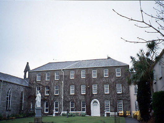 Holy Cross Conventhouse · 2.0 mi
 Listowel Castle (in ruins)Castle, tower house · 2.2 mi
 Kerry Writers' MuseumMuseum · 2.2 mi
 Bryan MacMahonMemorial · 2.2 mi
 Lartigue MonorailMuseum · 2.2 mi
 John B. Keane GroveMemorial · 2.3 mi
 Bawn in GlouriaBawn · 3.7 mi
 Kilflynn Nature ReserveNature reserve · 6.9 mi
 KnockanoreMountain / peak · 7.1 mi