What is recorded here
Páirc An Mhuilinn stands as a subrectangular platform measuring thirty-five by thirty-one metres, enclosed by twin banks and a water-filled fosse on flat Galway land. A stream still feeds the ditch from the south before vanishing into a sink-hole at the eastern corner, suggesting the site once controlled local water flow rather than merely defending against invaders. Quarrying has scarred the southwest edge and a modern drain cuts the western bank, yet the core shape remains visible. The absence of any entrance trace invites wonder about whether people entered by ladder, boat, or simply never needed to leave once the waters rose.
On flat land c. 1.3km SSE of Ballindeonagh Castle (GA027-014----). A subrectangular platform (L 35m, Wth 31m), in fair condition, enclosed by two banks with an intervening fosse. No trace of an entrance survives but the monument has been disturbed by quarrying at SW and by a drain along W side. The fosse was fed by a stream which runs along S side, before disappearing into a sink-hole at SE corner.
The above description is derived from the published 'Archaeological Inventory of County Galway Vol. I - West Galway'. Compiled by Paul Gosling (Dublin: Stationery Office, 1993).
Date of upload: 09 August 2010
The monument record does not grant public access. Check the route and ask the landowner before entering private land.
- What survives
- Recorded monument
Places near here
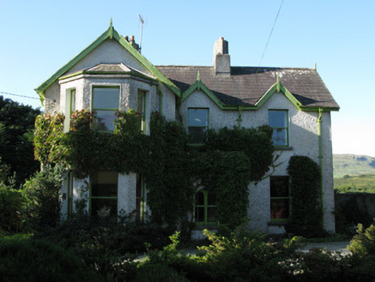 Rusheen Housegarda station/constabulary barracks · 696 yd
 Cross in UnknownCross · 769 yd
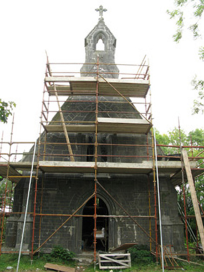 All Saints' Heritage Centrechurch/chapel · 865 yd
 Coill na FaircheWood · 1262 yd
 CaheratootherFairy fort / stone ringfort · 1359 yd
 Ballindeonagh Castle (in ruins)Castle, unclassified · 1400 yd
 Castle (in Ruins)Castle, unclassified · 1.8 mi
 Rock IslandIslet · 2.1 mi
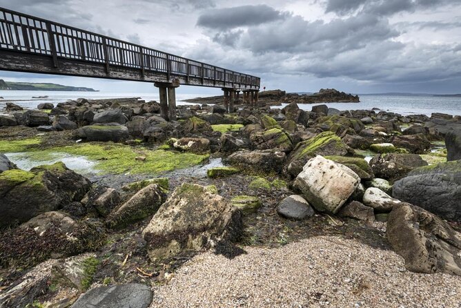 Inishgleasty RockIslet · 2.3 mi
 Binn ShléibheMountain / peak · 2.4 mi
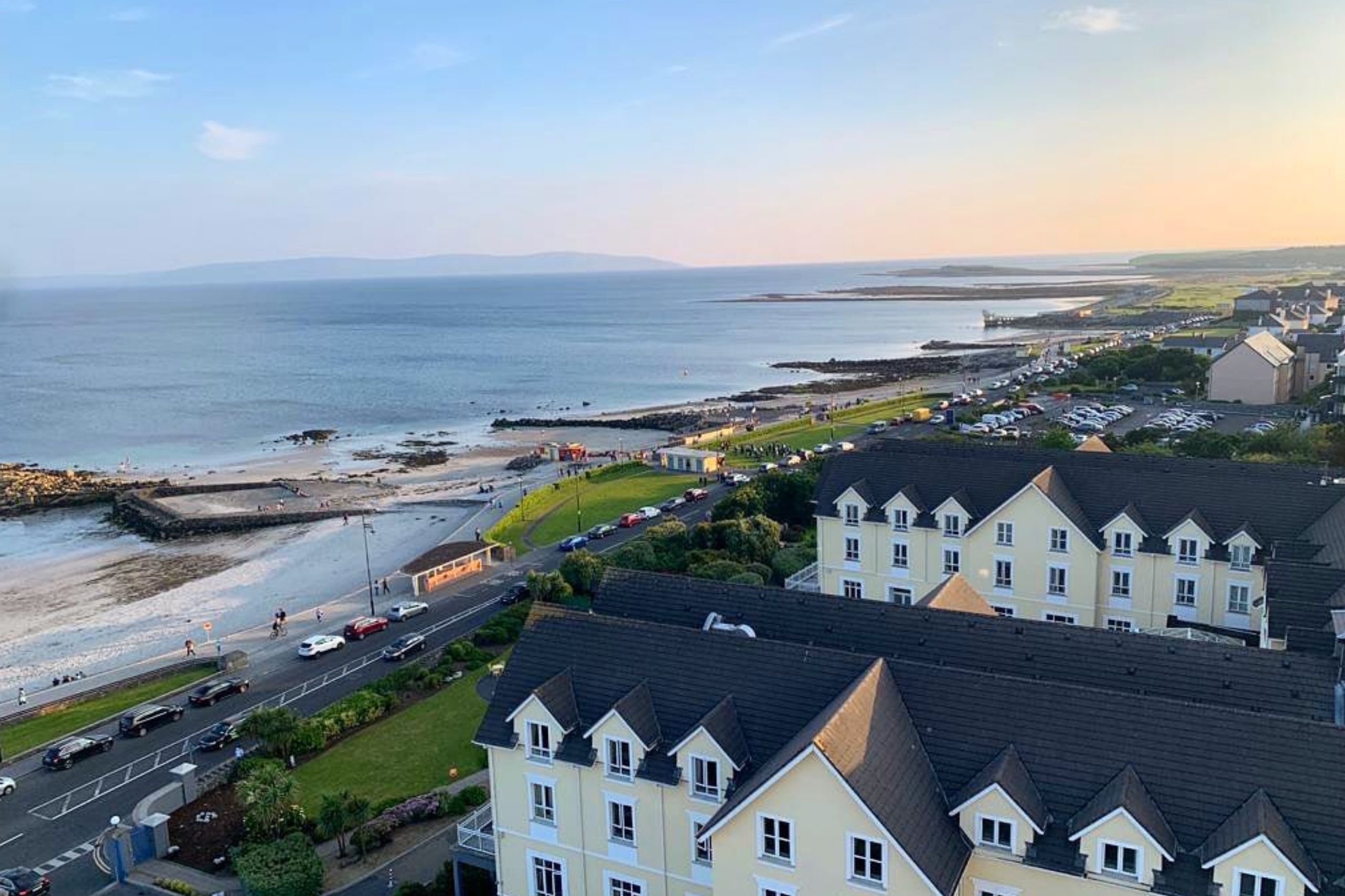 Golden BayBay · 2.6 mi
 Ard na Gaoithe WoodsForest · 2.8 mi