
What is recorded here
On a slight rise in an area of gently rolling pastureland. Very poorly preserved oval cashel (N-S 30.3m, E-W 41m) defined by a single, much-collapsed drystone Wall from NE through S to NW; overlain in all portions by a modem wall. Cut by a road at SSE and NW. A bungalow is built into the enclosing element at SW.
The above description is derived from the published 'Archaeological Inventory of County Galway Vol. I - West Galway'. Compiled by Paul Gosling (Dublin: Stationery Office, 1993).
Date of upload: 05 August 2010
A local fairy fort (ringfort/rath); wider significance not recorded.
The monument record does not grant public access. Check the route and ask the landowner before entering private land.
- What survives
- Recorded monument
Places near here
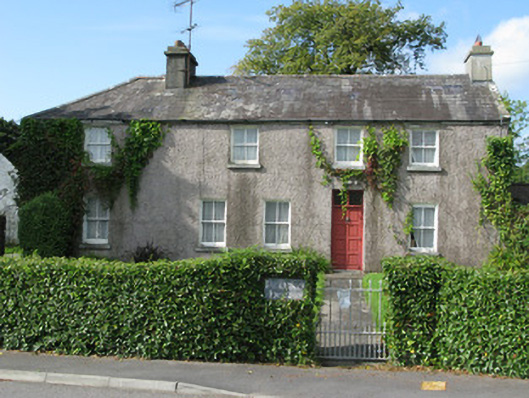 Poliska Housebuilding misc · 1315 yd
 Lisheenna-caheraghEnclosure · 1335 yd
 IndicatedMill, corn · 1397 yd
 Coill na FaircheWood · 1732 yd
 Cross in UnknownCross · 1.2 mi
 Ballindeonagh Castle (in ruins)Castle, unclassified · 1.6 mi
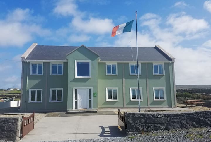 Inis TuíIslet · 2.1 mi
 Castle (in Ruins)Castle, unclassified · 2.1 mi
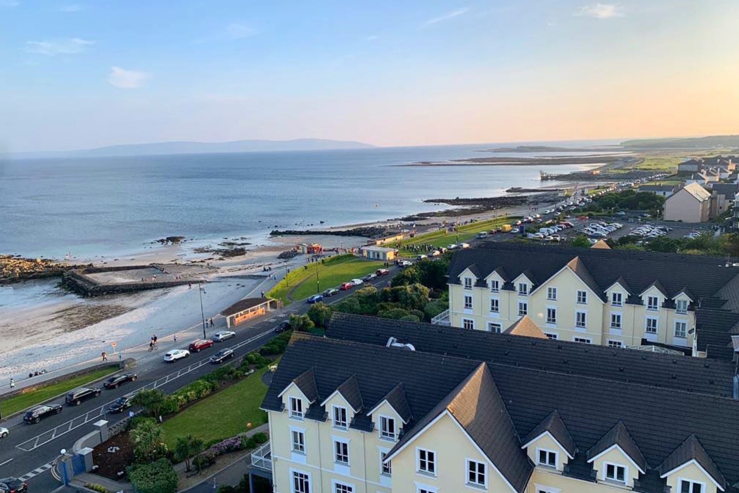 Golden BayBay · 2.1 mi
 Varley's islandIslet · 2.3 mi
 Binn ShléibheMountain / peak · 2.3 mi
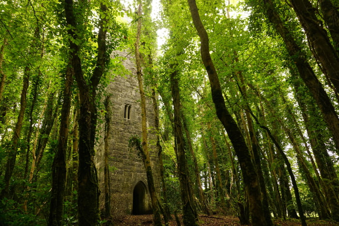 Ard na Gaoithe WoodsForest · 2.5 mi
Other information
Photo: Credit not shown in the picture search · Rights wording not checked; contact us if this picture should be removed