What is recorded here
In pasture, on SE-facing slope. Rectangular area (33.1m NE-SW; 21.2m NW-SE) enclosed by fosse (D 4.35m). Fosse deep to W, NW and NE side; shallower elsewhere (on lower side of slope). Dyke (max. D 2.2m; Wth 6.2m) extends SW (L c. 30m) from fosse at S end of SW side; according to local information, once extended a further c. 50m to well in adjoining field. Spring well in fosse on NW side; step down from exterior to low causeway across fosse to SW of well; according to local information, used as domestic water source up to 1950s. Interior surface undulating; raised to SE and S to compensate for hillslope; depression (L 6m; Wth 3m; D 0.9m) at SW side, with slight rim around edge.
The above description is derived from the published 'Archaeological Inventory of County Cork. Volume 4: North Cork' (Dublin: Stationery Office, 2000). In certain instances the entries have been revised and updated in the light of recent research.
Date of upload/revision: 14 January 2009
The monument record does not grant public access. Check the route and ask the landowner before entering private land.
- What survives
- Recorded monument
Places near here
 Enclosure in Curra (orrery and Kilmore By.)Enclosure · 819 yd
 Enclosure in CoolesEnclosure · 1469 yd
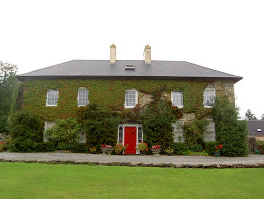 Tullylease Housecountry house · 1715 yd
 Castle LisheenCastle · 1.1 mi
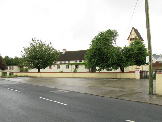 Scoil Naomh Iosefschool · 1.2 mi
 National Co-op MuseumMuseum · 1.4 mi
 ToberacappeenSpring · 2.6 mi
 CastleCastle, unclassified · 2.6 mi
 ToberhoranSpring · 4.4 mi
 Battle of LiscarrollMajor battlefield · 5.9 mi
 Mullaghareirk - Banane LoopWalking route · 6.2 mi
 Ballagh MountainMountain / peak · 8.1 mi