
What is recorded here
In pasture, on SSE-facing slope. Depicted as trapezoidal hachured enclosure (c. 25m N-S; c. 30m E-W) on 1842 OS 6-inch map. Arc formed by earthen bank (int. H 0.7m) survives N->E with external fosse (D 0.4m); scarp (H 0.5m) E->S. Field boundary with drain on E side bisects W half of enclosure on NNW-SSE axis. Short section of scarp survives to NW, on W side of field boundary; modern open drain runs S from where scarp ends to W. Section of low earthen bank survives beyond scarp to NW.
The above description is derived from the published 'Archaeological Inventory of County Cork. Volume 4: North Cork' (Dublin: Stationery Office, 2000). In certain instances the entries have been revised and updated in the light of recent research.
Date of upload/revision: 14 January 2009
The monument record does not grant public access. Check the route and ask the landowner before entering private land.
- What survives
- Recorded monument
Places near here
 Castle LisheenCastle · 1179 yd
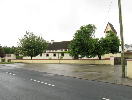 Scoil Naomh Iosefschool · 1.0 mi
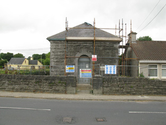 Dromcolliher Courthousecourt house · 1.1 mi
 National Co-op MuseumMuseum · 1.2 mi
 Enclosure in CoolesEnclosure · 1.2 mi
 DromcolliherSettlement cluster · 1.3 mi
 Castle (in Ruins)Castle, Anglo-Norman masonry castle · 2.2 mi
 ToberacappeenSpring · 2.3 mi
 ToberhoranSpring · 4.3 mi
 Battle of LiscarrollMajor battlefield · 5.8 mi
 Mullaghareirk - Banane LoopWalking route · 6.6 mi
 Stanner's Glen, Priory WoodWood · 7.3 mi
Other information
Photo: Credit not shown in the picture search · Rights wording not checked; contact us if this picture should be removed