What is recorded here
On top of a hill. Rectangular area (57m E-W; 36m N-S) defined to S and E by bank (int. H 0.5m); slight trace of ditch outside bank. Remaining banks may be incorporated into field fences. Interior level; partially overgrown. Moated site (CO097-016---) to N.
The above description is derived from the published 'Archaeological Inventory of County Cork. Volume 2: East and South Cork' (Dublin: Stationery Office, 1994). In certain instances the entries have been revised and updated in the light of recent research.
Date of upload/revision: 14 January 2009
The monument record does not grant public access. Check the route and ask the landowner before entering private land.
- What survives
- Recorded monument
Places near here
 Bi-Centenary of 1798Memorial · 726 yd
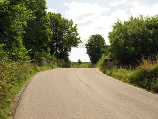 bridgebridge · 879 yd
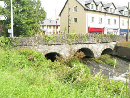 Crossbarry Bridgebridge · 1031 yd
 Enclosure in Ballymurphy SouthEnclosure · 1100 yd
 Ballyhandle Castle (in Ruins)Castle, Anglo-Norman masonry castle · 1473 yd
 Moated site in Annagh MoreMoated site · 1703 yd
 Sunday WellSpring · 1.5 mi
 Charlie Hurley MemorialMemorial · 1.7 mi
 Dromkeen WoodWood · 3.3 mi
 Dromkeen Wood Nature ReserveForest · 3.4 mi
 Shippool CastleCastle · 4.4 mi
 Carbury's WellSpring · 5.8 mi