What is recorded here
Situated on a gentle SW-facing hillslope overlooking a stream valley. Rectangular enclosure (max. ext. dims. c. 32m N-S; c. 28m E-W) defined by a flat-topped earthen bank (H 1.7m) and an external fosse (Wth 4m; D c. 2-3m). Possible counterscarp bank on the S side. There is some disturbance of the bank and fosse at the NE. An entrance with a ramp and causeway is at the centre of the W side. Possible internal structures are indicated by earthfast stones.
The above description is derived from the published 'Archaeological Inventory of County Wicklow' (Dublin: Stationery Office, 1997). In certain instances the entries have been revised and updated in the light of recent research.
Date of upload/revision: 17 December 2008
The monument record does not grant public access. Check the route and ask the landowner before entering private land.
- What survives
- Recorded monument
Places near here
 Font in BalislandFont · 1512 yd
 Fairy fort / earthen ringfort in Aghowle Upper (newcastle By.)Fairy fort / earthen ringfort · 1756 yd
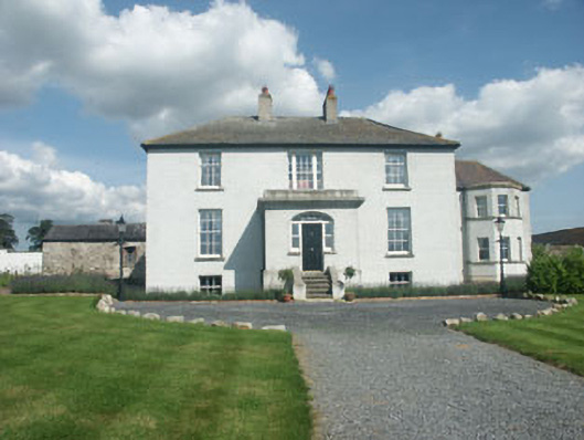 Raheengraney Housecountry house · 1.5 mi
 Site of Fever HospitalRuins · 2.2 mi
 Ballyknocker WoodWood · 2.3 mi
 Ballyredmond WoodWood · 2.5 mi
 Clonogan Castle (site of)Castle, unclassified · 3.2 mi
 Ballynultagh HillMountain / peak · 3.5 mi
 Huntington Castle & GardensHeritage attraction · 4.1 mi
 Gibbet HillMountain / peak · 4.4 mi
 CastleCastle, motte and bailey · 5.0 mi
 Barragh Church (in ruins), GraveyardChurch · 5.5 mi