What is recorded here
Situated on a slight NE-facing slope in wet pasture. Raised square area (dims. 24m NNE-WSW; 24m NNW-ESE) enclosed by a substantial bank of earth (Wth 3.2m; int. H 0.4m). At the external foot of the bank is a broad flat-bottomed fosse (Wth 5.85m). Immediately outside the fosse is an external low broad bank of earth (Wth 3.6m; int. H 1.2m). Traces of the internal bank are visible N-E and from E-S the internal bank is absent and the site is defined by a scarped edge (ext. H 0.9m). The external bank is absent E-S but the outer edge of the fosse is still visible. A break (Wth 2.6m) in the internal bank with an opposing break (Wth 2.8m) in the external bank at WNW marks the position of the original entrance.
Compiled by: Patrick F. O'Donovan
Date of upload: 21 April 2011
The monument record does not grant public access. Check the route and ask the landowner before entering private land.
- What survives
- Recorded monument
Places near here
 Enclosure in CollinsfordEnclosure · 624 yd
 Enclosure in LislahellyEnclosure · 989 yd
 Kings MountainMountain / peak · 1.6 mi
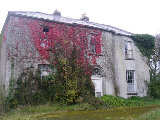 Doonally Househouse · 1.7 mi
 Saint Columba's Church (Drumcliff)church/chapel · 1.9 mi
 Drumcliff CemeteryGraveyard · 1.9 mi
 Grave of WB YeatsHeritage attraction · 1.9 mi
 Copes MountainMountain / peak · 2.1 mi
 Castle (in Ruins)Castle, unclassified · 2.3 mi
 Glencar Lough ViewpointViewpoint · 2.7 mi
 European BeechEuropean Beech · 3.0 mi
 Glencar IslandIslet · 3.3 mi