What is recorded here
In flat boggy pasture on the floor of a N-facing valley. Good views to N. A well-preserved rectangular enclosure (49m N-S; 35m E-W) defined by a bank (Wth at crest 1.5m; overall Wth 6.5m; int. H 0.5m; ext. H 1.6m), a wet fosse (Wth 3m; int. H 1.6-2m; ext. H 1.1-1.5m) and an outer bank (Wth at crest 1.5m; overall Wth 4m; int. H 1.1-1.5m; ext. H 0.5-1m). Not evident on any of the 6-inch OS maps. There is a causewayed entrance feature (Wth 3m) in the middle of the N side. In the centre of the S end (7m from the S end) there is a possible house site (KK015-001001-) comprising a slightly raised platform (H 0.1m; 14m N-S x 8m E-W). The interior is otherwise flat. The banks at S have been demolished and the fosse filled in though its line can still be traced as a slight, wet, reedy depression.
Compiled by: Mary Tunney
Date of upload: 14 January 2013
The monument record does not grant public access. Check the route and ask the landowner before entering private land.
- What survives
- Recorded monument
Places near here
 Enclosure in CloghpookEnclosure · 703 yd
 Rockbrook Corn Millmill (water) · 1194 yd
 SycamoreSycamore · 1262 yd
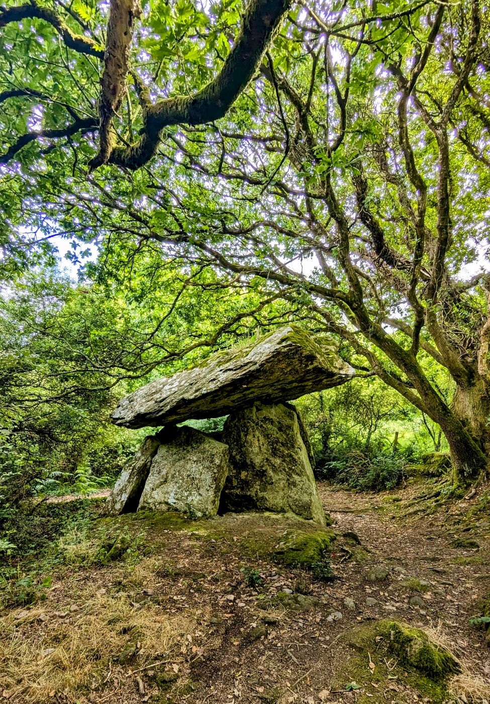 Enclosure in Gaulstown (fassadinin By.)Enclosure · 1.2 mi
 The CummerForest · 1.5 mi
 Saint Brendan's Catholic Churchchurch/chapel · 1.7 mi
 Clogharinka Castle (in ruins)Castle, unclassified · 1.8 mi
 CastleCastle, ringwork · 1.9 mi
 Edward BurkeMemorial · 2.7 mi
 Dunmore CavesCave · 2.9 mi
 Cave of DunmoreCave · 2.9 mi
 Mohil GraveyardArchaeological place · 3.2 mi