What is recorded here
In pasture on break in N-facing slope. Square area (21m E-W; 17m N-S) enclosed by earthen bank (H 0.7m) with external fosse (D 0.7m). Trace of counterscarp bank on N and E sides; fosse bounded by field fence elsewhere.
The above description is derived from the published 'Archaeological Inventory of County Cork. Volume 1: West Cork' (Dublin: Stationery Office, 1992). In certain instances the entries have been revised and updated in the light of recent research.
Date of upload/revision: 14 January 2009
The monument record does not grant public access. Check the route and ask the landowner before entering private land.
- What survives
- Recorded monument
Places near here
 Fulacht FiadhFulacht fia · 486 yd
 Man-made underground passage in Caher (ibane and Barryroe By.)Man-made underground passage · 789 yd
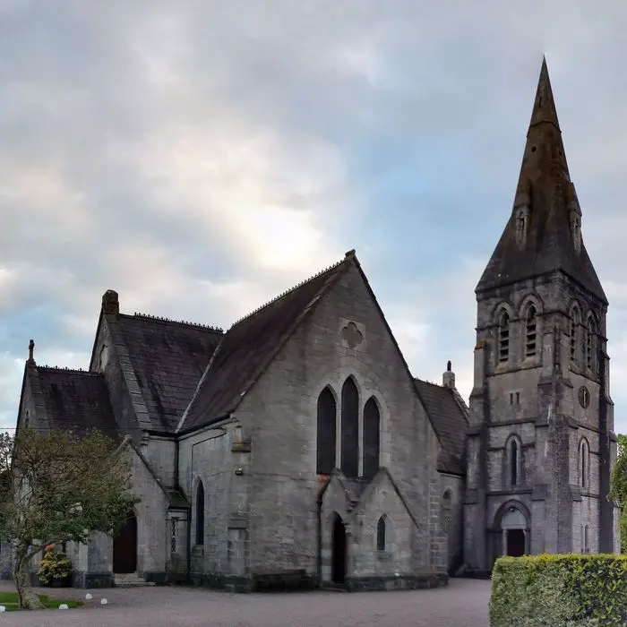 Church in ClooncunnigChurch · 1700 yd
 Kilkerranmore Church (in Ruins)Church · 1.0 mi
 CastleCastle, unclassified · 1.1 mi
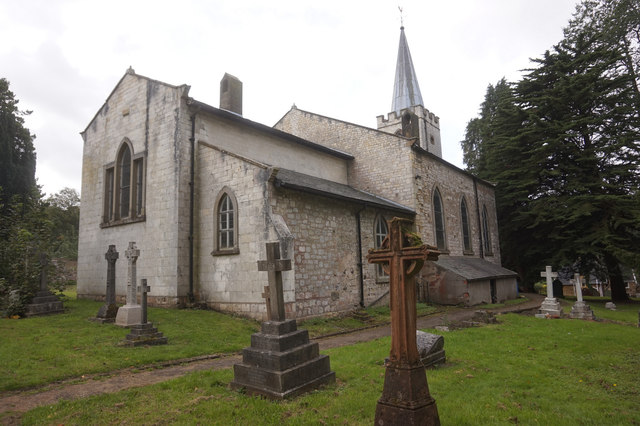 St. James WellSpring · 1.6 mi
 Inchydoney BeachBeach / strand · 1.6 mi
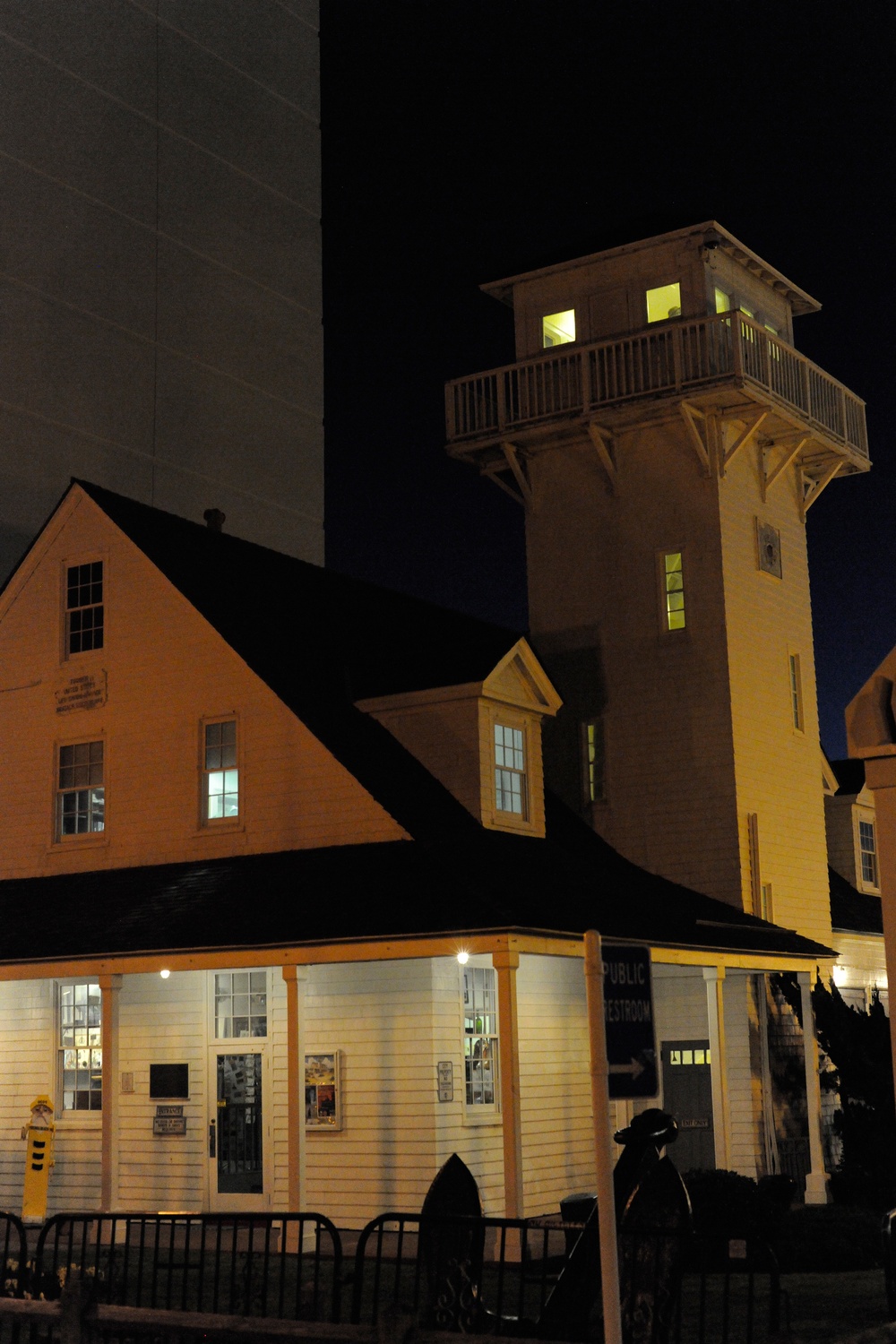 Old Coast Guard StationRuins · 1.7 mi
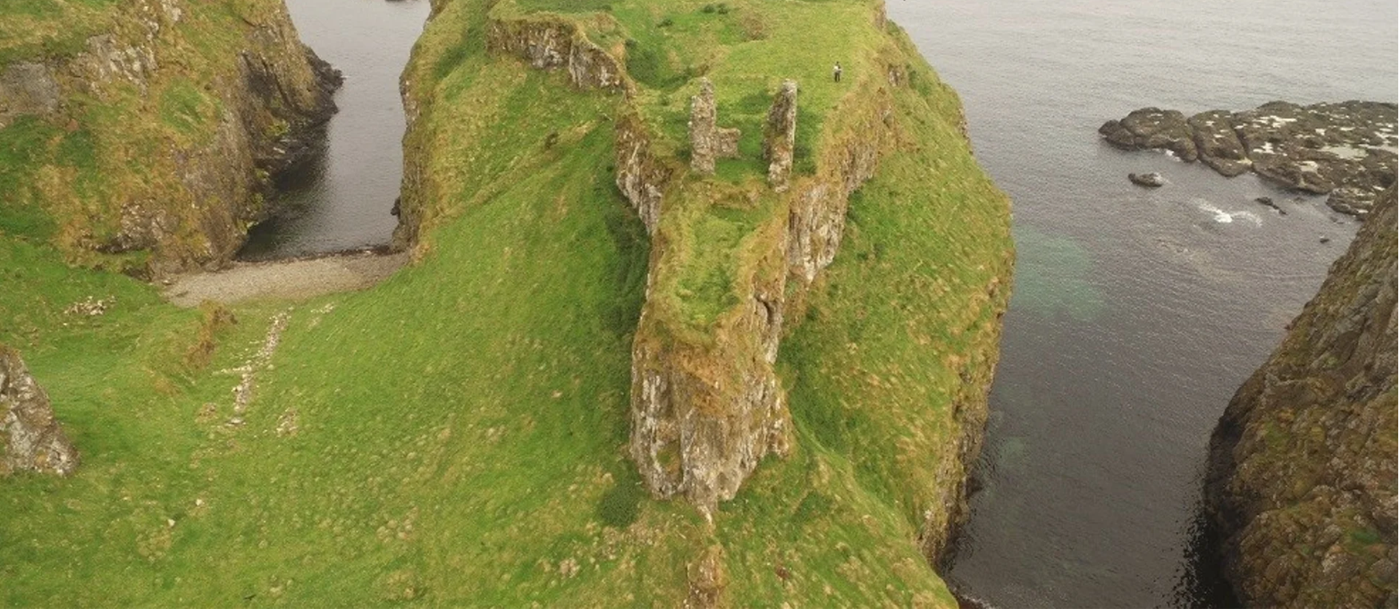 Dunnycove Castle (in Ruins)Castle, tower house · 2.1 mi
 Clonakilty Blackpudding Visitor CentreHeritage attraction · 2.2 mi
 Clonakilty HarbourBay · 2.3 mi
 Cloch na gCoillteMemorial · 2.4 mi