What is recorded here
In reclaimed pasture, at base of SE-facing slope, Ballynagarde Castle (LI022-051001-) 97m to E, enclosure (LI022-051003-) 90m to SE, within field system (LI022-051004). Present remains consist of a rectangular shaped area (21m NE-SW x 16m NW-SE) defined by a scarp (H 0.25m; Wth 0.5m) from NE to SE and external waterlogged fosse (int. D 0.3m; ext. D 0.4m; base Wth 4.5m; top Wth 11.5m), interior level with some gentle undulations. Slightly raised area (H 0.45m) in NW corner. Identified by the Bruff aerial photographic survey in 1986 (Bruff 56; AP 4/3746) as a rectangular shaped enclosure. Monument visible on the Google Earth orthoimages.
See attached Bruff survey image showing cropmark labelled Bruff 56 and Google Earth orthoimages
Compiled by: Fiona Rooney
Date of upload: 30 July 2020
The monument record does not grant public access. Check the route and ask the landowner before entering private land.
- What survives
- Recorded monument
Places near here
 Ballynagarde Ho.Castle, tower house · 237 yd
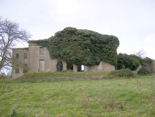 Ballynagarde Housecountry house · 305 yd
 ToberauillinSpring · 621 yd
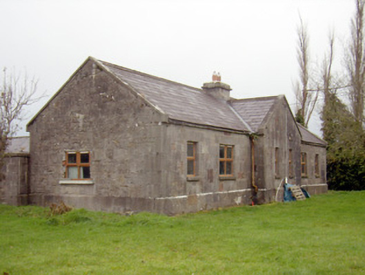 outbuilding, stablesoutbuilding, stables · 892 yd
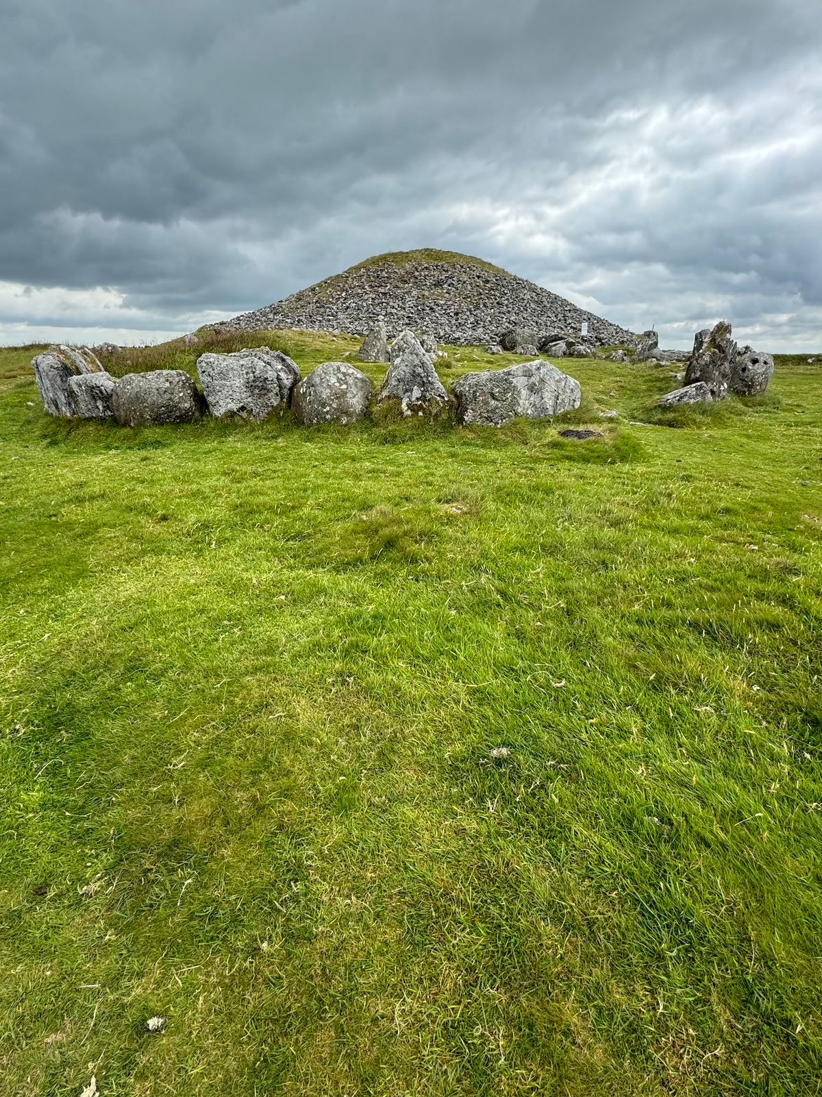 CairnCairn, unclassified · 1272 yd
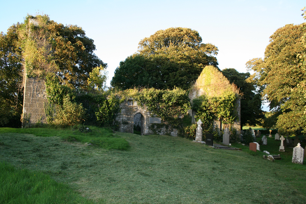 Enclosure in Boherload,carnaneEnclosure · 1319 yd
 Rockstown Castle (in ruins)Castle, tower house · 1.2 mi
 Carnane RockNamed rock · 1.4 mi
 Skool HillMountain / peak · 1.9 mi
 Villiers WellSpring · 2.9 mi
 European ashEuropean ash · 5.2 mi
 Monasteranenagh AbbeyHeritage attraction · 6.0 mi