What is recorded here
Cropmark of rectangular-shaped earthwork that has been partially quarried into at E is clearly visible on Digital Globe aerial photograph taken November 2011.
Compiled by: Frank Coyne and Caimin O'Brien
Date of upload: 23 August 2017
The monument record does not grant public access. Check the route and ask the landowner before entering private land.
- What survives
- Recorded monument
Places near here
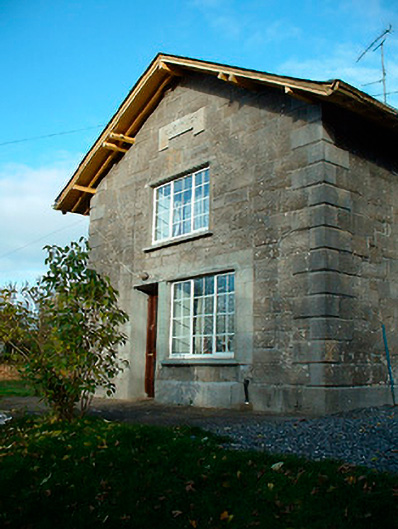 Clonhugh Railway Stationrailway station · 835 yd
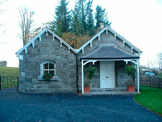 Clonhugh Housegate lodge · 845 yd
 Partially hachuredFairy fort / earthen ringfort · 986 yd
 Kilpatrick WellHoly well · 1163 yd
 CastleCastle, unclassified · 1.1 mi
 Bridge Memorial (Kenna)Memorial · 1.5 mi
 Carrick CastleCastle · 1.9 mi
 Scragh Bog Nature ReserveNature reserve · 2.6 mi
 Carrickphilbin IslandIslet · 2.9 mi
 Church IslandIsland · 3.0 mi
 Lady's IslandWood · 3.5 mi
 Rock of CurryCliff · 9.2 mi