What is recorded here
Situated on SW facing slope of slightly rising ground in undulating countryside. Well preserved square shaped area (dims 23m N-S; 23m E-W) enclosed by two earth and stone banks with a wide flat bottomed intervening fosse (Wth 3m avg.; int. D 2m) with causewayed entrance (Wth 2m) at SE. The inner bank (Wth 1.5m; int. H 1.3m) is badly damaged at the W end of the N side while the outer bank (Wth 2m; int. H 1.7m; ext. H 0.6m) is best preserved at N elsewhere it is poorly preserved with a modern road intersecting it at E. The fosse was filled with water during time of visit due to natural seepage from the ground.
The above description is derived from the published 'Archaeological Inventory of County Offaly' (Dublin: Stationery Office, 1997). In certain instances the entries have been revised and updated in the light of recent research.
Date of upload: 23 May 2011
The monument record does not grant public access. Check the route and ask the landowner before entering private land.
- What survives
- Recorded monument
Places near here
 EnclosureEnclosure, large enclosure · 509 yd
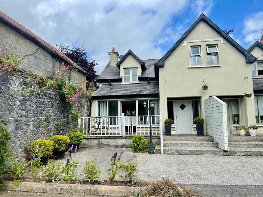 Man-made underground passage in Glasderry MoreMan-made underground passage · 978 yd
 OCarrolls Castle (in Ruins)Bawn · 1317 yd
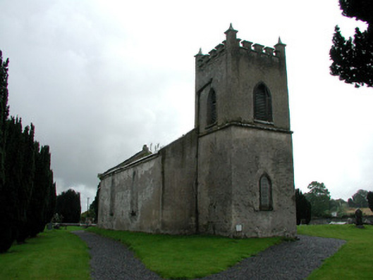 Saint Mark's Church (Ettagh)church/chapel · 1319 yd
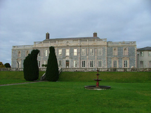 Gloster Housecountry house · 1339 yd
 CastleCastle, tower house · 1469 yd
 Eagle HillMountain / peak · 1.3 mi
 Golden Grove WoodWood · 1.5 mi
 Golden Grove HillMountain / peak · 1.8 mi
 Warren WoodWood · 2.3 mi
 Leap CastleCastle · 2.8 mi
 Roscrea Petty Sessions HouseHeritage attraction · 4.1 mi