What is recorded here
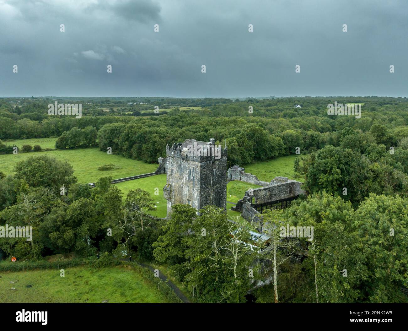
Thirty-five metres of raised earth still mark the rectangle in rough pasture beside Ballinreena Cross Roads, though grass and forgotten feet have softened its edges. The Ordnance Survey called it one of three forts in 1840, as if certainty belonged to the drawing rather than the ground. Maybe people lived there, watched the road or kept something hidden from neighbours. The land has stopped answering questions, but it has not stopped holding the shape.
In rough pasture, adjacent to Ballinreena Cross Roads. Depicted on the 1840 ed. OSi 6-inch map as a rectangular-shaped platform defined by a scarp. Shown on the 1897 OSi 25-inch map as a raised rectangular-shaped area (dims. c. 35m NW-SE; 42m NE-SW) defined by a scarp. In 1840 the Ordnance Survey described this monument as one of ‘three forts,’ in the townland (OSNB Abbeyfeale to Bruree, 190). Monument visible a rectangular-shaped area enclosed by a tree-covered bank from NE-E-S-W on Digital Globe orthoimage taken between 2011-13 and on Google Earth orthoimages.
See attached Google Earth orthoimages.
Compiled by: Fiona Rooney
Date of upload: 17 August 2021
The monument record does not grant public access. Check the route and ask the landowner before entering private land.
- What survives
- Recorded monument
Places near here
 Baile an bhruidhne Mote, HachuredFairy fort / earthen ringfort · 743 yd
 IndicatedEarthwork · 812 yd
 Ballinvreena LoopVisitor information · 986 yd
 Ballynahinch Bridgebridge · 1673 yd
 Edmund's WellSpring · 1759 yd
 TemplenalaweChurch · 1.1 mi
 SlievereaghMountain / peak · 1.7 mi
 Saint Patrick's WellSpring · 2.2 mi
 Castle (in ruins)Castle, tower house · 2.4 mi
 Athneasy FortCastle, motte and bailey · 2.4 mi
 Palatine's RockNamed rock · 2.8 mi
 Ballyhoura WayWalking route · 3.0 mi
Other information
Photo: Credit not shown in the picture search · Rights wording not checked; contact us if this picture should be removed