What is recorded here
Situated on poorly drained land on N facing slope in upland area. Rectangular area (dims. 43m SE-NW; 28m NE-SW) enclosed by well preserved flat topped tree lined earthen bank (wth 1m; int. H 1.3m; ext. H 1 - 3m) with gap (Wth 12m) in bank at NW. Probable 19th century landscape feature due to perfect state of site preservation which indicates recent date for site construction. Do not include in inventory.
Compiled by: Jean Farrelly and Caimin O'Brien
Date of upload/revision: 22 September 2008
The monument record does not grant public access. Check the route and ask the landowner before entering private land.
- What survives
- Recorded monument
Places near here
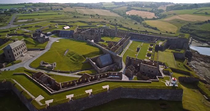 Knockaun FortArchaeological place · 800 yd
 Enclosure in AghnameadleEnclosure · 1.6 mi
 Aghnameadle CastleCastle · 1.7 mi
 Aghnameadle Church (in Ruins)Church · 1.8 mi
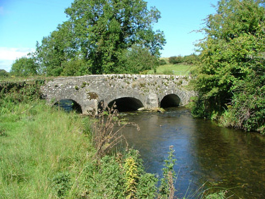 Aghnameadle Bridgebridge · 1.8 mi
 Blean CastleCastle · 2.0 mi
 GortagarryMountain / peak · 2.0 mi
 Interragh HillMountain / peak · 2.3 mi
 Kyleroe WoodWood · 2.6 mi
 Killavalla WoodForest · 3.9 mi
 James Devaney MemorialMemorial · 7.7 mi
 Thomas MacDonagh Heritage CentreMuseum · 8.4 mi