What is recorded here
Situated on a S-facing slope with the headwaters of a small SW-NE stream c. 100m to the SE. The outline of a rectangular grass-covered area (int. dims c. 42m NE-SW; c. 40m NW-SE) defined by wide moats (Wth 3m at NW to c. 6m generally) on every side is visible on Apple Maps. It and was first reported by Jean Charles Caillère.
See the attached aerial view from Apple Maps
Compiled by: Michael Moore
Date of upload; 11 March 2020
The monument record does not grant public access. Check the route and ask the landowner before entering private land.
- What survives
- Recorded monument
Places near here
 Enclosure in BarmoneyEnclosure · 1354 yd
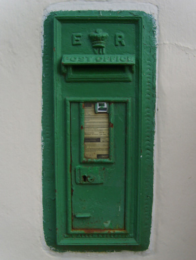 post boxpost box · 1.1 mi
 Church WellHoly well · 1.1 mi
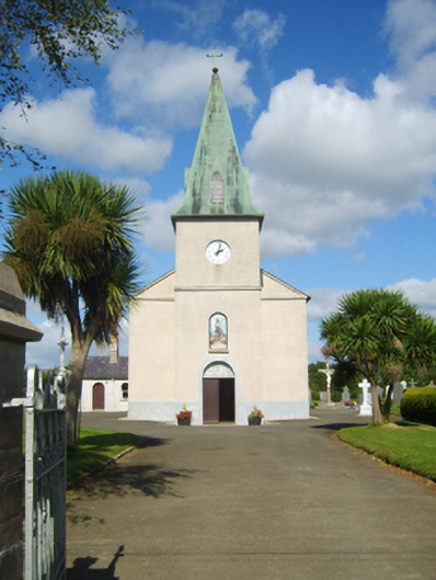 Catholic Church of Saint John the Baptistchurch/chapel · 1.1 mi
 Celebrating 125 YearsMemorial · 2.5 mi
 Raheennahoon HillMountain / peak · 2.6 mi
 (Site of) Doonoonen CastleCastle, motte · 2.6 mi
 Camaross HillMountain / peak · 3.2 mi
 (Site of) CastleCastle, unclassified · 3.3 mi
 Dick Joynt MemorialMemorial · 3.5 mi
 Battle Of The Three RocksMemorial · 4.9 mi
 Battle of Three Rocksbattle · 5.1 mi