What is recorded here
Situated on the coast close to Mizen Head. An eroded moated site (dims. 35m x 35m) noted during fieldwalking in 1983. A hachured rectangular area is visible on the 1st edition OS 6-inch map. Worked flints (WI036-027----) were found in the thrown-up bank of the site. (Mitchell 1990, 47; Information Prof. P. Woodman)
The above description is derived from the published 'Archaeological Inventory of County Wicklow' (Dublin: Stationery Office, 1997). In certain instances the entries have been revised and updated in the light of recent research.
Date of upload/revision: 17 December 2008
The monument record does not grant public access. Check the route and ask the landowner before entering private land.
- What survives
- Recorded monument
Places near here
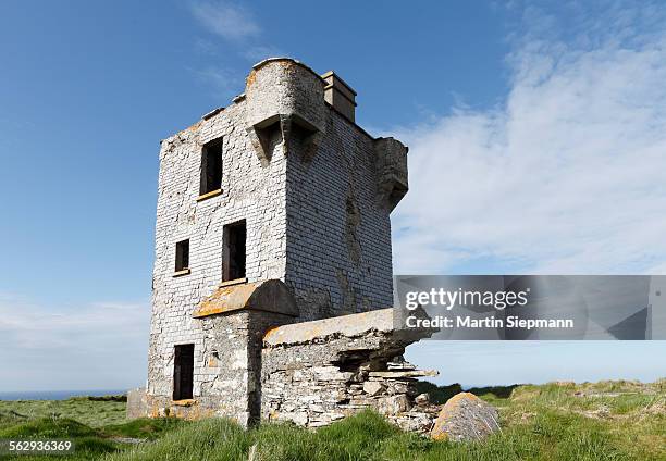 Mizen Head TowerRuins · 418 yd
 Buckroney Sand DunesNature reserve · 1751 yd
 IndicatedEnclosure · 1.6 mi
 Brittas BayBeach / strand · 1.9 mi
 Ennereilly ChurchChurch · 1.9 mi
 Font (present location) in CranaghFont (present location) · 2.3 mi
 Tree PlantationForest · 2.4 mi
 Furzeditch BeachBeach / strand · 4.5 mi
 Castle (in ruin)Castle, Anglo-Norman masonry castle · 5.7 mi
 Battle of Arklowbattle · 6.1 mi
 Site of CastleCastle, unclassified · 6.6 mi
 Meeting of the WatersHeritage attraction · 7.4 mi