What is recorded here
Indicated on the 1st (1839) ed. OS 6-inch map as a roughly rectangular enclosure (dims. c. 47m ESE-WNW; c. 40m NNE-SSW) with rounded corners at the NE and SW angle and it appears to be contained within a small field with a farmyard immediately to the E. On the 1948 revision of the 6-inch OS map farm buildings have been built within the enclosure, though these are not depicted on the 25-inch OS map. Barry (1977, 186) classified this as a moated site and described it as being under a modern farmyard, with traces of the S side still in existence. The monument was enclosed by a bank (H 0.5m; Wth 3m) and water-logged external fosse (D 2m; Wth 3.3m) (ibid.). According to local information given in 1986 the monument was levelled. There is a large agricultural building occupying much of the interior with other sheds built across the NW sector.
Compiled by: Jean Farrelly
Date of upload: 10 May 2022
The monument record does not grant public access. Check the route and ask the landowner before entering private land.
- What survives
- Recorded monument
Places near here
 Church in Ahanure NorthChurch · 1366 yd
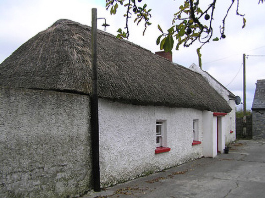 farm housefarm house · 1456 yd
 ToberbrideHoly well · 1658 yd
 IndicatedEnclosure · 1.1 mi
 Green StreetVisitor information · 2.1 mi
 Edmund Rice MemorialMemorial · 2.1 mi
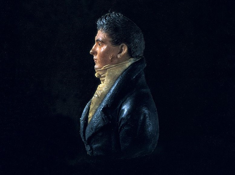 James Hoban MonumentMemorial · 2.2 mi
 Stop 4: Callan Town HallVisitor information · 2.2 mi
 West CourtCastle, unclassified · 2.2 mi
 CastleCastle, tower house · 2.3 mi
 Edmund Rice Heritage CentreMuseum · 2.4 mi
 HawthornHawthorn · 2.7 mi