What is recorded here
On a low summit in what is a housing scheme. Named as 'moat' on the 1843 and 1937 editions of the OS 6-inch map. Listed in the 1991 Dublin City Development plan (No. 45). Not visible at ground level.
Compiled by: Geraldine Stout
Date of upload: 26 August 2011
The monument record does not grant public access. Check the route and ask the landowner before entering private land.
- What survives
- Recorded monument
Places near here
 Darndale HouseHouse, 18th/19th century · 191 yd
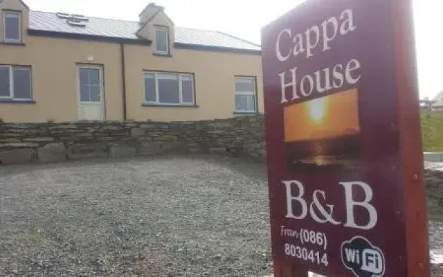 Cappa HouseHouse, 16th/17th century · 514 yd
 Ayrfied UnitedHeritage attraction · 927 yd
 MoatMound · 969 yd
 Site of BurialsBurial mound · 1032 yd
 Stardust MemorialMemorial · 1036 yd
 St Catherine's WellSpring · 1.3 mi
 EolasVisitor information · 1.5 mi
 Airways Industrial EstateVisitor information · 1.8 mi
 Millennium ArboretumWood · 1.8 mi
 All Saints Boundary WoodsWood · 1.8 mi
 Graveyard in Unknown TownlandGraveyard · 2.0 mi