
What is recorded here
Moat, Sainthelens is a flat-topped elongated mound in County Dublin, Ireland, where a narrow fosse still guards the north side while uneven ground to the south hints at a lost bailey. The mound measures ten metres long at the top and twenty-two metres at the base, large enough for a small castle but modest enough to hide inside ordinary farmland. Burnt remains and possible structures detected beneath the soil suggest people lived there, worked there and perhaps fled or burned what they could not save.
Located in level ground this is a flat-topped elongated mound (Top: L 10m; Wth 7.5m; Base: L 22m) with a flat-bottomed fosse (Wth 5.7m; D 1.25-1.5m) enclosing the north side. There are indications of an intervening berm (Wth 2m). The fosse stops abruptly in the S where the ground is uneven indicating the possible presence of a bailey (Healy 1975, 26; Flanagan 1984, 24). Geophysical survey (Licence no. 12R0028) was undertaken to define the limits of the motte and bailey. Three potential structures, possible pit-type features and burnt/fired remains were identified to the south of the motte (Nicholls 2012, 3).
Compiled by: Geraldine Stout
Updated by: Christine Baker
Date of upload: 17 January 2015
The monument record does not grant public access. Check the route and ask the landowner before entering private land.
- What survives
- Recorded monument
Places near here
 Black WoodWood · 524 yd
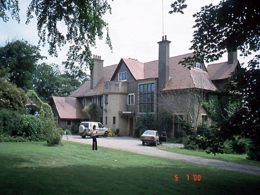 Seamount Househouse · 689 yd
 Earthwork in Malahide,robswallsEarthwork · 831 yd
 Enclosure in Broomfield (coolock By.)Enclosure · 1027 yd
 Malahide DemesneVisitor information · 1242 yd
 ChurchRuins · 1260 yd
 Malahide BeachBeach / strand · 1503 yd
 Malahide Castle Demesne Church (Ruin)Ruins · 1560 yd
 High RockViewpoint · 1.0 mi
 Casino Model Railway MuseumMuseum · 1.0 mi
 Strand Mill RuinsRuins · 1.4 mi
 CastleCastle, unclassified · 1.6 mi
Other information
Photo: Ianfhunter · CC BY 4.0