
What is recorded here
Killallon is a castle in which the earth still holds its shape: a flat-topped motte rising beside a rectangular bailey, both laid out as if for life rather than display. In 1214-5 William de Tuite reportedly found gold there, which suggests the ground was never ordinary and may have been watched, worked or desired long before the banks were raised. The church stands nearby, as though the castle and worship shared one small world. To walk the field today is to meet a place where treasure, defence and daily prayer may all have crossed.
Situated in a gently undulating landscape. Killallon was known as Killamlan, and in 1214-5 William de Tuite reportedly found gold there (Orpen 1907, 241). The motte is a subcircular flat-topped mound (dims of top 17.5m E-W; 15m N-S; diam. of base 40m N-S; 36m E-W; H 7m at NW to 14m at SE) with a rectangular, grass-covered bailey (int. dims c. 40m NW-SE; c. 40m NE-SW), defined by earthen banks (at NW: Wth of base 15m; int. H 1m; ext. H 0.6m) or scarps, attached to the NW. It is associated a field system (ME022-007----) just to the NW. The castle site (ME022-011----) is just N of the bailey and Killallon parish church (ME022-012----) is c. 90m to the NE.
The above description is derived from the published 'Archaeological Inventory of County Meath' (Dublin: Stationery Office, 1987). In certain instances the entries have been revised and updated in the light of recent research.
Compiled by: Michael Moore
Date of revision: 21 July 2016
Amended: 23 March 2023
William de Tuite was associated with the area in the early 13th century, and the site is notable for a reported gold find in 1214–15. The motte remains as a significant earthwork in the landscape.
The monument record does not grant public access. Check the route and ask the landowner before entering private land.
- What survives
- Recorded monument
Places near here
 CastleCastle, unclassified · 77 yd
 Church (in Ruins)Church · 149 yd
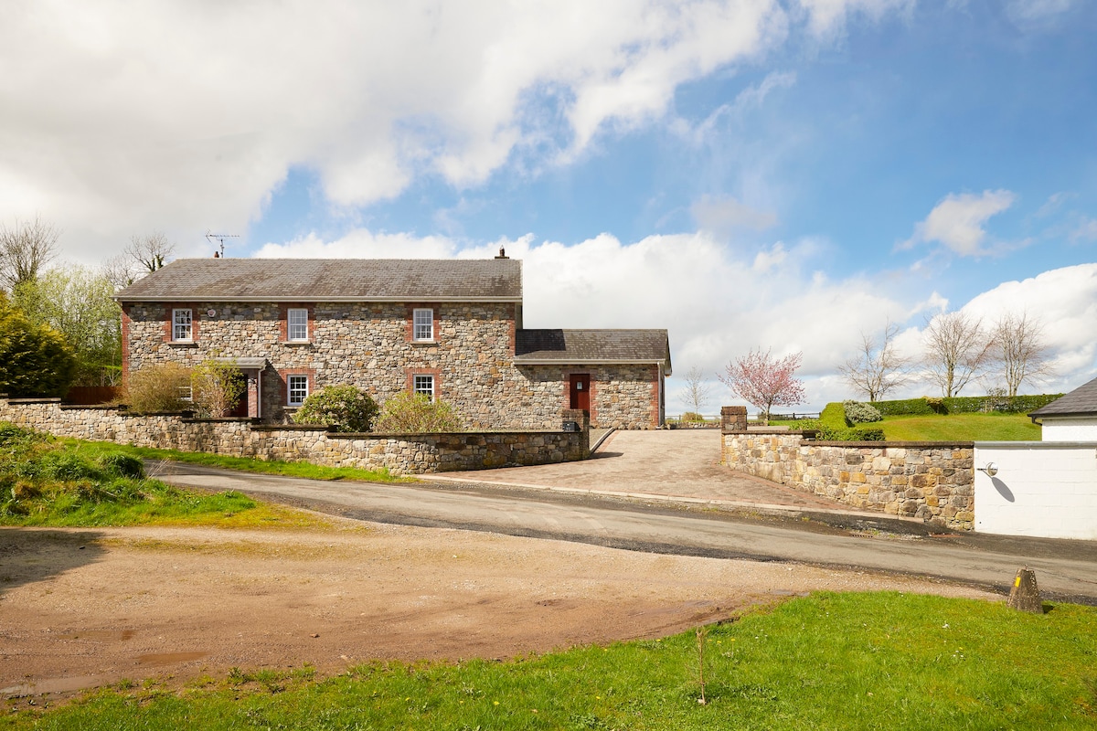 Enclosure in BoherardEnclosure · 738 yd
 European ashEuropean ash · 1007 yd
 Enclosure in Shanco (fore By.)Enclosure · 1519 yd
 Bradley's WoodWood · 1.4 mi
 Corn MillMill, unclassified · 1.9 mi
 Kells HillMountain / peak · 2.2 mi
 Bawn in ArcherstownBawn · 2.3 mi
 Slieve GullionMountain / peak · 3.3 mi
 Loughcrew Megalithic TombsHeritage attraction · 4.9 mi
 Oliver Plunkett memorialMemorial · 4.9 mi
Other information
Photo: Credit not shown in the picture search · Rights wording not checked; contact us if this picture should be removed