
What is recorded here
Moat is a castle mound in County Kildare, Ireland. It stands eight metres tall on a steep slope above the River Blackwater, with a shallow ditch once running around its base. Farm machinery has since smoothed that ditch from view, but the mound still rises through grass and beech trees, watching the water below.
In tillage, at the top of a moderately steep W-facing slope overlooking the River Blackwater c. 200m to the W, and with excellent views in all directions. An ecclesiastical site (KD004-018----) lies c. 40m to the S. A tall, fairly steep-sided, oval shaped, grass and beech tree covered, earthen mound (H 4.7m at S-8m at N; ext. diams. 36m E-W; 31.5m N-S) has a dished, sub circular-shaped upper surface (diams. 8.3m E-W; 7m N-S) which is retained by a dry-stone revetment, two courses of which survive at W (H 0.35m; traceable L 2m). A fairly broad berm (Wth1.8-2.5m), mid-way up the side of the site, girdles the monument from N-E-S. In 1986 a shallow fosse (D 0.1m; Wth 2m) was noted around the base (SMR file), but it is no longer visible because of the passage of farm machinery across this area. The OSL (Herity 2002, 30) recorded the former existence of 'an old castle (KD004-019----) beside the moat ...'.
Compiled by: Gearóid Conroy
Date of upload: 10 June 2011
The monument record does not grant public access. Check the route and ask the landowner before entering private land.
- What survives
- Recorded monument
Places near here
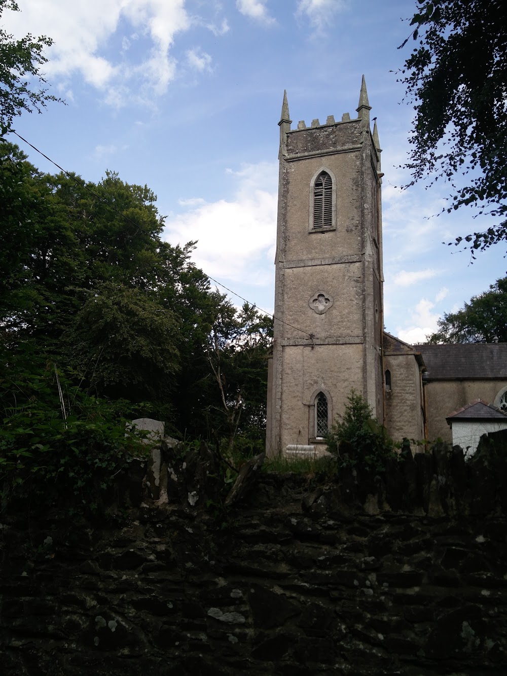 Church in HortlandChurch · 75 yd
 water pumpwater pump · 988 yd
 Ovidstown RathEnclosure · 1416 yd
 IndicatedFairy fort / earthen ringfort · 1710 yd
 The Grill ShackHeritage attraction · 1.5 mi
 Site of Dunfierth CastleCastle, unclassified · 2.4 mi
 9/11 MemorialMemorial · 2.5 mi
 Donadea Forest ParkVisitor information · 2.7 mi
 Donadea CastleCastle, tower house · 2.7 mi
 Old Bog Road made famous by Teresa Bryton 1868-1943Memorial · 3.3 mi
 Loughtown CovertWood · 3.8 mi
 European ashEuropean ash · 3.9 mi
Other information
Photo: Credit not shown in the picture search · Rights wording not checked; contact us if this picture should be removed