
What is recorded here
Named 'Moat' and indicated as a small, circular enclosure on the 1st ed. (1838) of the OS 6-inch map, which also shows a possible quarry/sandpit a little to the N. In pasture on Crock berry Hill (OD 335 feet). In 1972, the landowner stated that there had been a 'depression' on this hilltop, just N of the summit, that had recently been infilled, levelled-off and re-seeded for meadow, leaving no surface indication of a monument apart from 'a slight depression to the N' (SMR file). The cropmark of a fosse defining the S limits of an originally circular area (est. max. diam. c. 55m) is visible on an aerial photograph (CUCAP ATC 52).
Compiled by: Gearóid Conroy
Date of upload: 10 June 2011
The monument record does not grant public access. Check the route and ask the landowner before entering private land.
- What survives
- Recorded monument
Places near here
 EnclosureEnclosure, large enclosure · 1471 yd
 Enclosure in Timahoe WestEnclosure · 1.1 mi
 The Grill ShackHeritage attraction · 1.7 mi
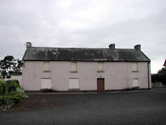 Saint Benignus's Catholic Churchschool · 2.6 mi
 Church in DunmurraghillChurch · 2.6 mi
 9/11 MemorialMemorial · 3.1 mi
 Donadea CastleCastle, tower house · 3.3 mi
 The Kildare MazeHeritage attraction · 3.4 mi
 Site of Dunfierth CastleCastle, unclassified · 3.5 mi
 Ballynafagh Bog Special Area of ConservationNature reserve · 3.6 mi
 Horse-chestnutHorse-chestnut · 4.4 mi
 Grand Canal WayVisitor information · 4.8 mi
Other information
Photo: Credit not shown in the picture search · Rights wording not checked; contact us if this picture should be removed