What is recorded here
Located on a level landscape and c. 70m from the edge of a steep scarp (H c. 5m) down to the valley floor of a NW-SE section of the meandering Mattock River. This is a grass-covered mound (diam. of base 30m NNW-SSE; 28m ENE-WSW; H c. 3m) that is badly damaged at SE where it was quarried in the nineteenth century. A kerbstone (L 1.3m; Wth 0.15m; H 0.4m) is visible at SE but the tips of other stones can also be seen protruding through the sides of the mound and there is a plough scarp N-E. The monument is described in OS Name Book (1836) as 'a small moat which has a cave in it', suggesting that it contained a megalithic chamber, possibly a passage-tomb. Archaeological testing (04E0238) by P. D. Sweetman c. 80-100m to the S produced no related material (excavations.ie 2004:1289). (O'Kelly 1978, 63, Site S)
Compiled by: Michael Moore
The above description is derived from the published 'Archaeological Inventory of County Meath' (Dublin: Stationery Office, 1987). In certain instances the entries have been revised and updated in the light of recent research.
Date of upload: 10 July 2007
Amended: 28 January 2021
This monument is subject to a preservation order made under the National Monuments Acts 1930 to 2014 (PO no. 2/1956).
The monument record does not grant public access. Check the route and ask the landowner before entering private land.
- What survives
- Recorded monument
Places near here
 Font (present location) in MonknewtownFont (present location) · 219 yd
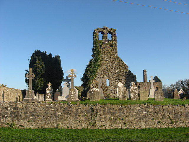 Church (in Ruins)Church · 292 yd
 mill (water)mill (water) · 375 yd
 Enclosure in MonknewtownEnclosure · 423 yd
 School WoodForest · 1.4 mi
 Knowth Timber CircleHeritage attraction · 1.4 mi
 KnowthArchaeological place · 1.4 mi
 Dowth CastleCastle, tower house · 1.5 mi
 Quarry Garden WoodForest · 1.5 mi
 Proudfootstown CastleCastle, unclassified · 1.7 mi
 Brú na Bóinne Visitors CentreVisitor information · 2.0 mi
 Battle of the BoyneMajor battlefield · 2.0 mi