What is recorded here
In rough rocky hill pasture, on the steep N-facing slopes of a river valley. An adit (Wth 4m; H 1.5m; L c. 4m), filled with water and debris and sloping down to the S, is visible on the N face of an area of outcropping rock. It has a dome-shaped roof and some traces of fire-setting. Immediately to the N is a small, mainly sod-covered, irregularly shaped mound (4m E-W; 2m N-S; H 0.4m) from which a variety of heat-shattered stones and damaged stone mauls are spilling down the steep slope. A small opening blocked by debris is located 2m to the E. This may represent the entrance to another adit. There is another copper mine (CO103-025----) c. 45m to the S.
The above description is derived from 'The Archaeological Inventory of County Cork. Volume 5' (Dublin: Stationery Office, 2009).
Date of upload: 22 December 2009
The monument record does not grant public access. Check the route and ask the landowner before entering private land.
- What survives
- Recorded monument
Places near here
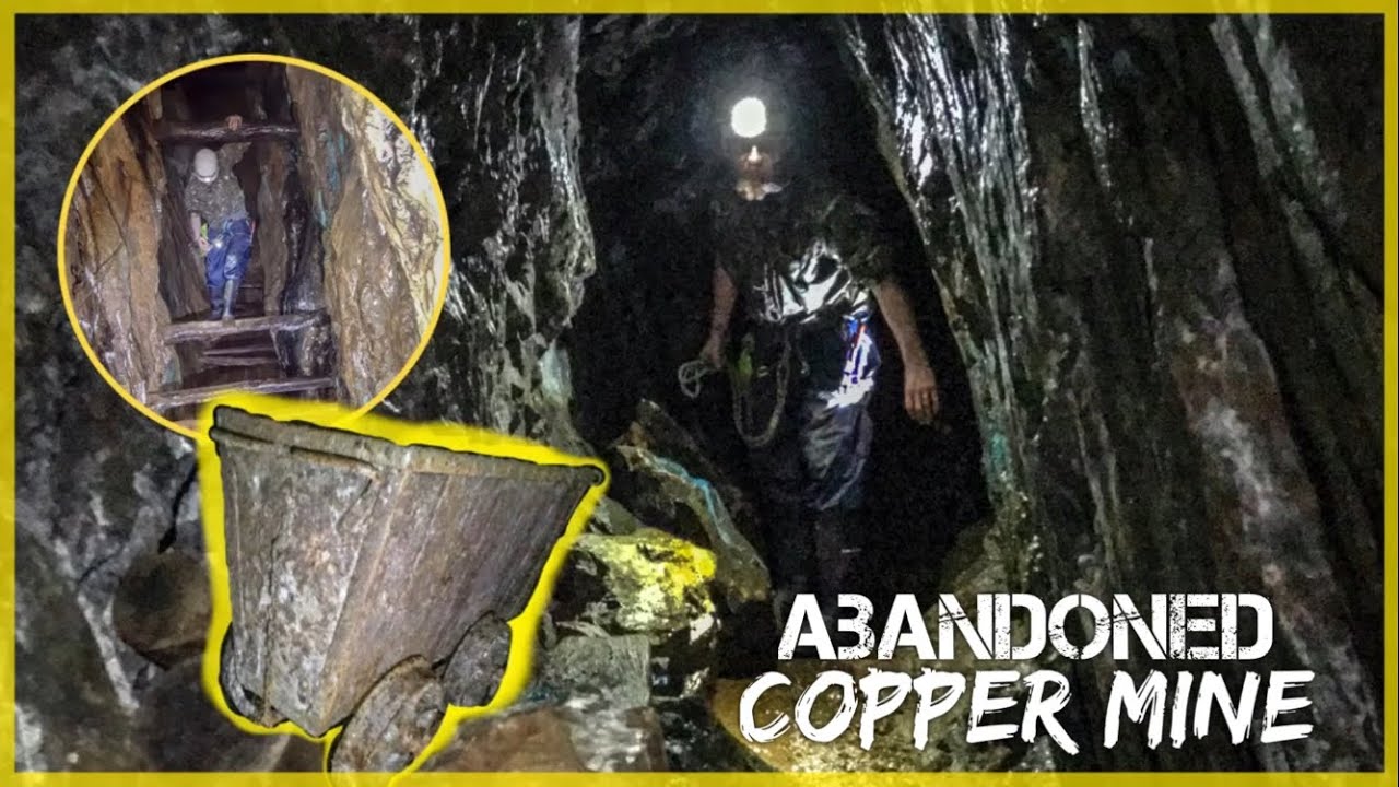 MineMine, copper · 51 yd
 Hut site in CanshanavoeHut site · 309 yd
 Knockeirky South TopMountain / peak · 579 yd
 RoadRoad, unclassified togher · 1012 yd
 Field boundary in CanshanavoeField boundary · 1025 yd
 Glenkeel TopMountain / peak · 1.2 mi
 Hungry Hill GalleryGallery · 2.6 mi
 West Cork Sailing & Powerboating CentreHeritage attraction · 2.7 mi
 Graveyard in DrumlaveGraveyard · 2.8 mi
 Orthon's IslandIslet · 2.9 mi
 DroppaCliff · 3.1 mi
 IllaunateeIslet · 3.1 mi