
What is recorded here
A normally flooded trench in bedrock, 2m long by 0.6m wide at surface, gives access to a partially backfilled underground chamber approximately 2m high by 2m wide by 3.6m plus long. When flooded, the trench has the appearance of a peaty pool, completely concealing the workings. The spoil heap, roughly 20m square in area contains numerous examples of broken stone mining mauls. There is no obvious copper mineralisation present.
Compiled by: Alastair Lings
Date of upload: 30 July 2015
The monument record does not grant public access. Check the route and ask the landowner before entering private land.
- What survives
- Recorded monument
Places near here
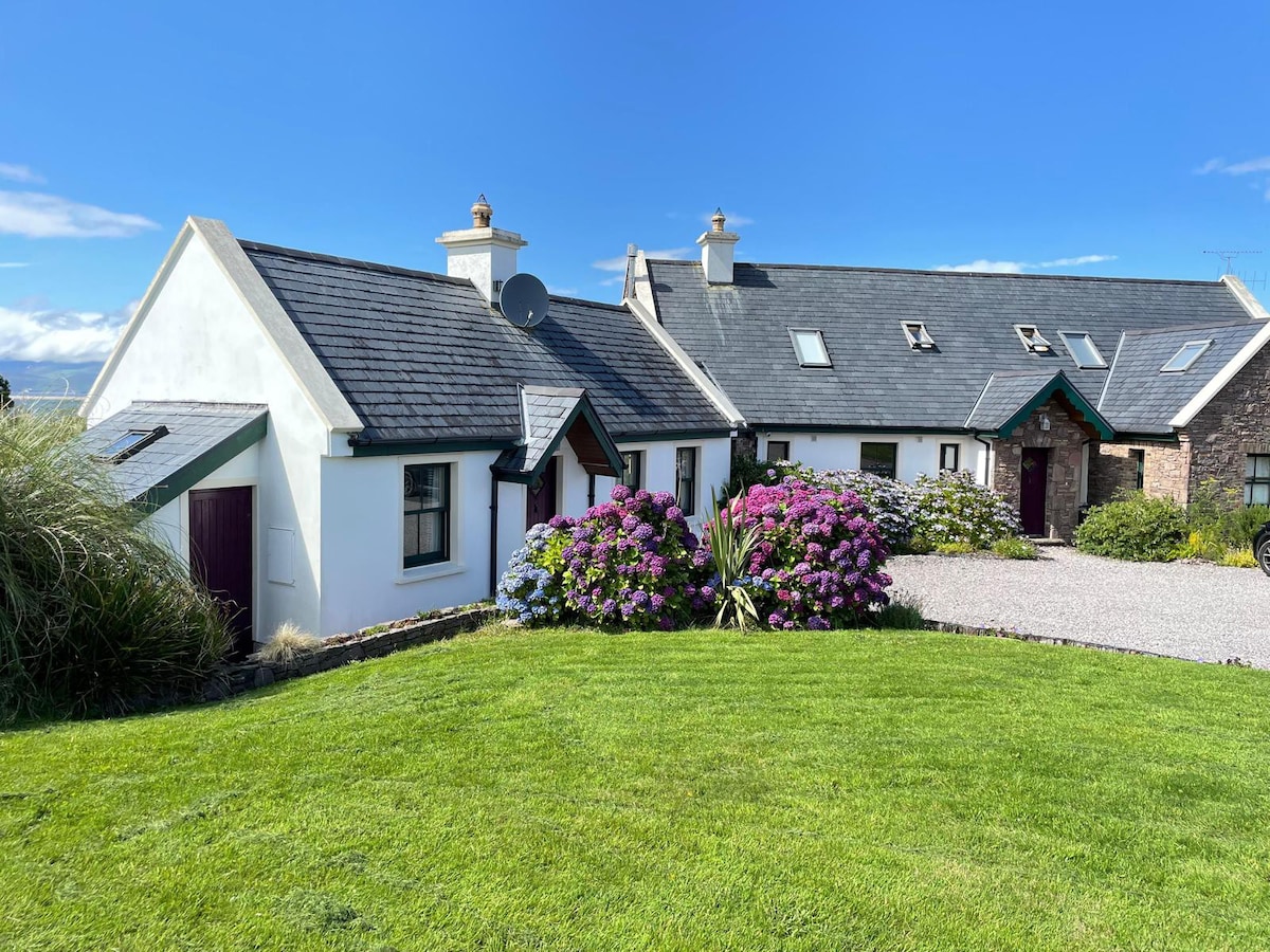 Habitation site in An Ráth (dún Cíaráin Theas)Habitation site · 81 yd
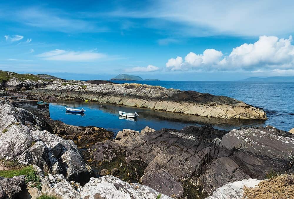 Lamb's Head HillMountain / peak · 525 yd
 Abbey IslandIslet · 1636 yd
 Derrynane AbbeyRuins · 1.0 mi
 Abbey (in ruins)Church · 1.0 mi
 Burial GroundGraveyard · 1.0 mi
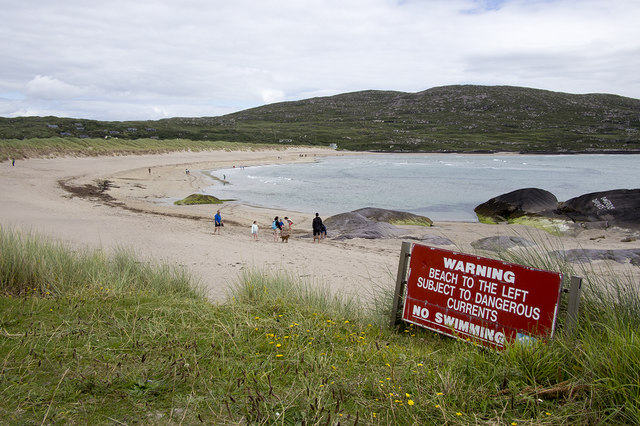 Derrynane Beach / Trá Doire FhíonáinBeach / strand · 1.1 mi
 Derrynane Bay Beach / Trá Bhá Doire FhionáinBeach / strand · 1.2 mi
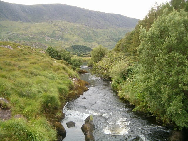 Eagle HillMountain / peak · 1.2 mi
 Lamb's IslandIslet · 1.4 mi
 Derrynane House / Teach Dhoire FhionáinHeritage attraction · 1.4 mi
 Páirc Náisiúnta Stairiúil Dhoire Fhíonáin / Derrynane National Historic ParkNature reserve · 1.4 mi
Other information
Photo: Credit not shown in the picture search · Rights wording not checked; contact us if this picture should be removed