What is recorded here
S of the walled town of Fethard (TS070-040----), running NW-SE across the Clashawley River, roughly from S of the SW angle tower in the graveyard of Holy Trinity church (TS070-040001-) to the mill (TS070-040112-) immediately SW of Watergate Bridge (TS070-040017-). This weir and watermill are indicated on the Grace map of 1708 (O'Keeffe 2003, map 5). It is unlikely that the mill and weir were only 8 years old when depicted, which implies they are at least 17th century in date. On the 1st (1840) ed. 6-inch OS map the weir is named the 'Mill Weir'. It is named ‘Weir’ on the 2nd ed. (1903-04) 6-inch OS map, however the area S of the weir is named the 'Mill Dam'.
Compiled by: Jean Farrelly
Date of upload: 18 May 2015
The monument record does not grant public access. Check the route and ask the landowner before entering private land.
- What survives
- Recorded monument
Places near here
 European YewEuropean Yew · 49 yd
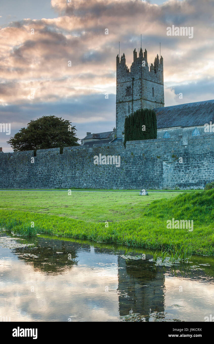 Almshouse in FethardAlmshouse · 50 yd
 Grave YardGraveyard · 54 yd
 Edmond's CastleCastle · 65 yd
 Church in FethardChurch · 70 yd
 Holy Trinity Church (Fethard)church/chapel · 71 yd
 Court CastleCastle · 97 yd
 East GateMemorial · 210 yd
 Grove WoodForest · 1.1 mi
 Kilknockan HillMountain / peak · 1.2 mi
 CarrigdotiaMountain / peak · 4.3 mi
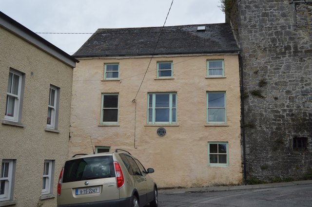 Watergate Househouse · 88 yd