What is recorded here
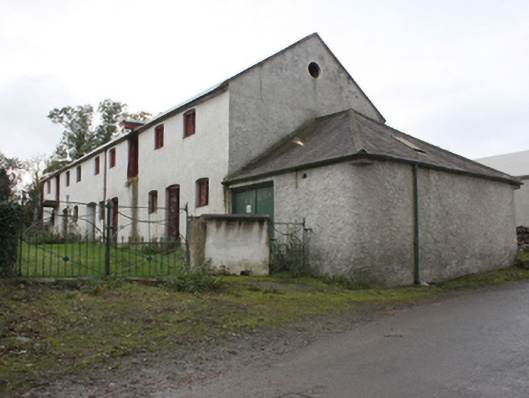
Detached thirteen-bay two-storey former mill building, built c. 1840, on a cranked plan, with single-storey shed to west gable, now in use as a farm outbuilding. Pitched corrugated metal roof, hipped slate roof to shed, with cast-iron rainwater goods. Roughcast rendered walls with red brick eaves details. Segmental-headed window openings with timber framed windows and timber shutters and oculus to first floor west gable. Segmental-headed and square-headed door openings with matchboard timber doors.
A good example of a mid-nineteenth century mill building, now in use as a hay shed. The Ordnance Survey first edition six-inch map of c. 1837 shows an earlier, much smaller, corn mill on this site which on that map is called Bridge Town. The mill race was used to power both this mill and a smaller flax (409047025) to the south-west.
This does not grant access. Most recorded buildings are privately owned; view them only from public ground unless the owner allows entry.
Places near here
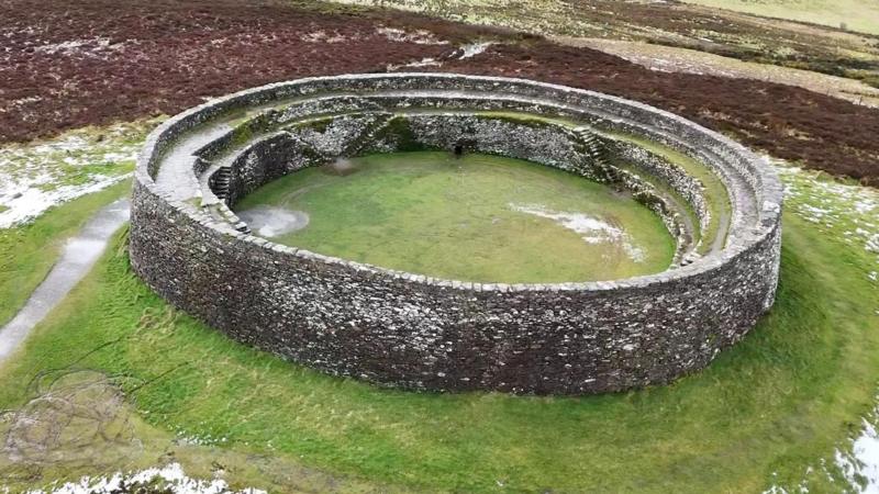 Bunnamayne Levelled Fairy FortFairy fort / earthen ringfort · 786 yd
 Former Dundrean Fairy FortFairy fort / ringfort · 1734 yd
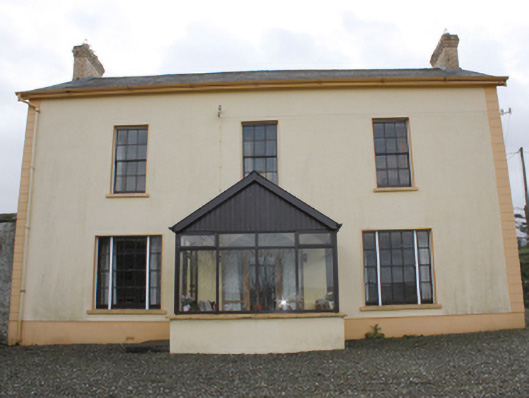 farm housefarm house · 1.0 mi
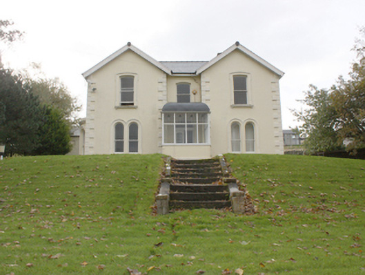 Lisfannon Presbyterian Mansemanse · 1.1 mi
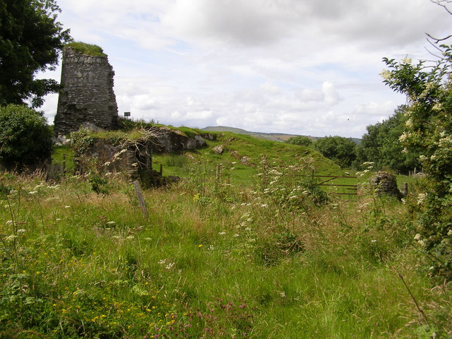 CASTLE & EARTHWORK ENCLOSURE: DOHERTY TOWER or CASTLE AILEACH in Elagh MoreCASTLE & EARTHWORK ENCLOSURE: DOHERTY TOWER or CASTLE AILEACH · 1.4 mi
 Grianán of AileachFairy fort / stone ringfort · 1.9 mi
 Greenan MountainMountain / peak · 1.9 mi
 Cashel HillMountain / peak · 2.5 mi
 Emmery Celtic CrossWood · 3.5 mi
 Bawn in An Machaire Beag (tc Fathain)Bawn · 3.6 mi
 Battle of the BogsideMajor battlefield · 3.6 mi
 Museum of Free DerryMuseum · 3.7 mi
Other information
Photo: National Inventory of Architectural Heritage · Website use allowed for educational or private purposes with source credit