What is recorded here
William Hay possessed Slade and a watermill when he died in 1636 and his son Jack inherited (Jeffrey 1979, 37-8). A house (WX048-107----) at Slad (19) is depicted on the Down Survey barony map of Forth (1656-8) close to Kilscoran church (WX048-014001-), while a water mill is marked at the W side of the townland. For the Down Survey barony map see this web-page accessed on 19 December, 2013: http://downsurvey.tcd.ie/down-survey-maps.php#bm=Forth&c=Wexford A corn mill is marked at the NW corner of Slad on the 1839 ed. of the OS 6-inch map with a mill-race running N-S parallel with a small stream c. 60m to the W, but it cannot be certain that this mill is on the same site as the earlier mill.
Compiled by: Michael Moore
Date of upload: 9 January, 2014
The monument record does not grant public access. Check the route and ask the landowner before entering private land.
- What survives
- Recorded monument
Places near here
 Enclosure in SladEnclosure · 105 yd
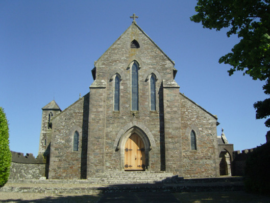 Saint Mary's Catholic Churchchurch/chapel · 578 yd
 St. Marys WellHoly well · 650 yd
 Kilscoran Rectoryrectory/glebe/vicarage/curate's house · 827 yd
 CastleCastle, tower house · 1158 yd
 Rosslare Harbour Maritime Heritage CentreMuseum · 1.7 mi
 Birdlife of RosslareVisitor information · 2.3 mi
 InishIsland · 2.6 mi
 Marconi HouseMemorial · 2.6 mi
 The Fairy Stone/RockNamed rock · 2.6 mi
 Shernock Hill/Knocks HillMountain / peak · 2.7 mi
 Ballymacane CastleCastle, unclassified · 2.8 mi