
What is recorded here
A water mill at Duncormick is recorded in 1623 when it may have been a Meiler possession (Jeffrey 1979, 74). The mill is listed in the Civil Survey (1654-6), and a watermill is also mentioned in the terrier or commentary of the Down Survey parish map (1656-8). See this website accessed on 2 August, 2013: http://downsurvey.tcd.ie/down-survey-maps.php#bm=Bargy&c=Wexford&p=Duncormocke+and+Ballimagar. A grist mill is marked on the 1839 ed. of the OS 6-inch map on the E bank of the N-S stream, just N of the bridge (WX046-056----). The location of the earlier structure is not known, although it may have been close to the village.
Compiled by: Michael Moore
Date of upload: 19 August, 2013
The monument record does not grant public access. Check the route and ask the landowner before entering private land.
- What survives
- Recorded monument
Places near here
 Field system in DuncormickField system · 128 yd
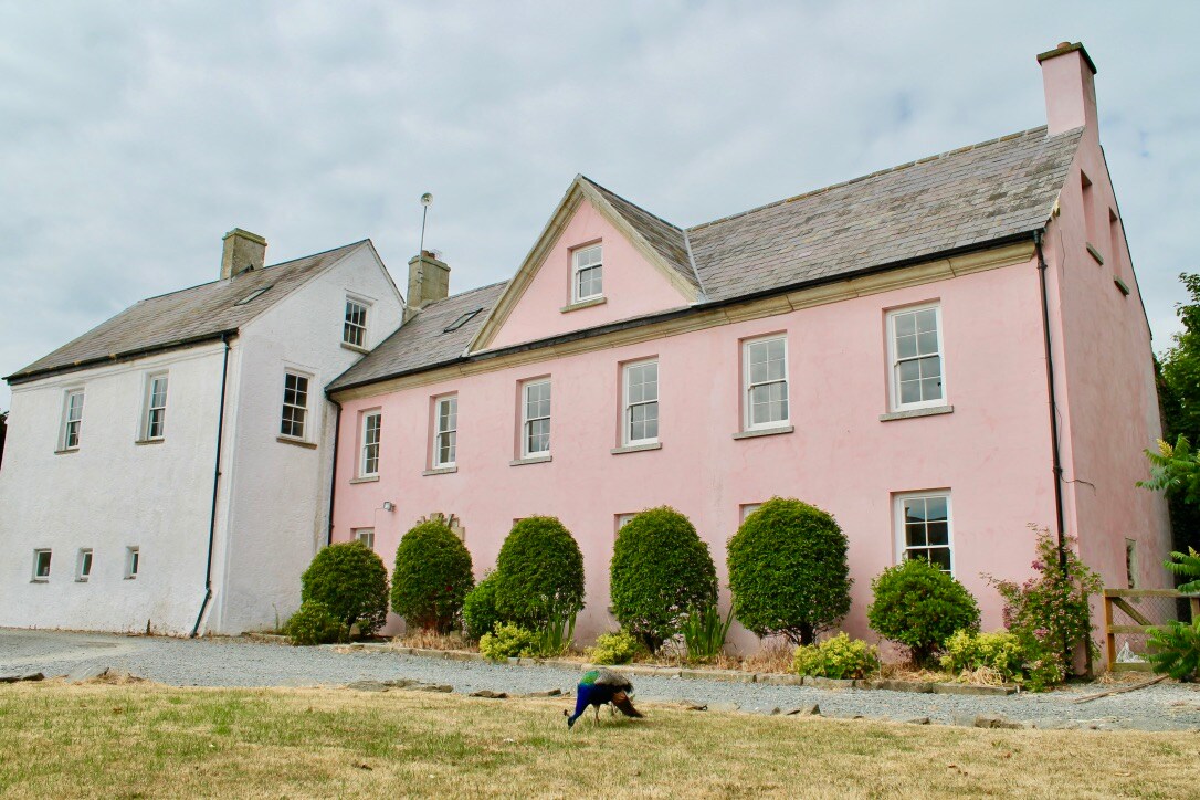 Embanked enclosureCastle, motte and bailey · 137 yd
 Grist MillRuins · 174 yd
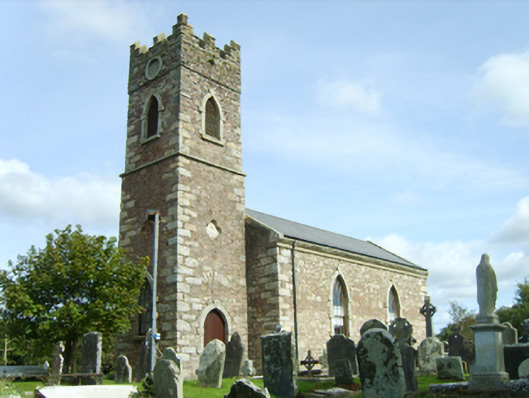 Saint Peter's Catholic Churchchurch/chapel · 208 yd
 Ecclesiastical enclosure in DuncormickEcclesiastical enclosure · 224 yd
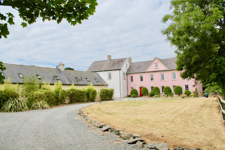 Castle (in ruins)Castle, tower house · 289 yd
 Cull IslandIsland · 1.7 mi
 Ballyteigue BurrowNature reserve · 2.4 mi
 Cullenstown StrandBeach / strand · 2.9 mi
 Carrig-On-BannowVisitor information · 3.3 mi
 1798 MemorialMemorial · 3.3 mi
 Ballymadder PointHeadland · 3.8 mi
Other information
Photo: Credit not shown in the picture search · Rights wording not checked; contact us if this picture should be removed