What is recorded here
A mill is indicated on the Down Survey (1655-6) maps which appears to be in the townland of Moatpark. Orpen (1909, 331) mentions an 'ancient mill-race can still be seen between the mote and the river'. Orpen may be referring the stream through the Wandesforde Estate which appears to have been embanked in the 18th century [see KK005-057----]. The precise location of the mill within the townland is unknown.
Compiled by: Jean Farrelly
Date of upload: 22 May 2017
The monument record does not grant public access. Check the route and ask the landowner before entering private land.
- What survives
- Recorded monument
Places near here
 Ballyconra Hall (site of)Archaeological place · 533 yd
 Moat Castle (site of)Archaeological place · 609 yd
 Enclosure in Rathduff (fassadinin By.)Enclosure · 610 yd
 CastleCastle, unclassified · 614 yd
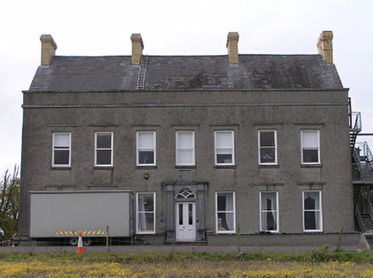 Ballyconra Househouse · 883 yd
 bridgebridge · 1333 yd
 Graveyard in SraleaghGraveyard · 1.0 mi
 Anker's IslandIsland · 1.1 mi
 Donaghmore WellSpring · 1.6 mi
 Jenkinstown ParkWood · 5.1 mi
 Emma Jane Browne-ClaytonMemorial · 5.2 mi
 Red horse-chestnutRed horse-chestnut · 5.2 mi