What is recorded here
Situated on flat pasture-land with Millcastle (WM003-006----) 40m S of mill-race, River Glore 30m to N of possible mill race now dried as depicted on the 1837 ed. OS 6-inch map. Motte and bailey castle (WM003-070----) and wayside cross (WM003-069---) 290m to N. A water channel running from E-W was diverted from the River Glore via a cut in the SW side of the river 100m NNE of the castle (WM003-006---). The water-channel or millrace is clearly visible on Digital Globe aerial photographs taken November 2011. The precise location of the watermill operating off this millrace has not been identified however the earthworks visible on Digital Globe aerial photographs may be related to the mill or the adjoining tower house. In 1837 the Ordnance Survey Letters recorded that in Millcastle there was ‘to be seen in good preservation the ruins of a castle (WM003-066----) which gave name to the townland. It is situated on the south side of the River Glore, and near stood originally a mill which gave it name, but of that not even the site can now be pointed out. Not far from the ruin of Millcastle is a square tower (WM003-066001-) evidently of the same age and style with the castle itself’ (O’Flanagan 1931, 103).
Compiled by: Frank Coyne & Caimin O'Brien
Date of upload: 5 December 2016
The monument record does not grant public access. Check the route and ask the landowner before entering private land.
- What survives
- Recorded monument
Places near here
 CastleCastle, tower house · 79 yd
 Hachured, dotted outlineCastle, motte and bailey · 347 yd
 CrossCross, Wayside cross · 386 yd
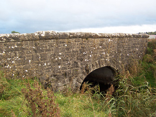 Stonestown Bridgebridge · 442 yd
 Ecclesiastical enclosure in RathgarveEcclesiastical enclosure · 504 yd
 Church (in Ruins)Church · 513 yd
 European ashEuropean ash · 1.2 mi
 Silver FirSilver Fir · 1.8 mi
 Rock of CurryCliff · 2.5 mi
 Fore AbbeyHeritage attraction · 2.8 mi
 St Feichin's MillHeritage attraction · 2.9 mi
 Mullaghmeen Red WalkWalking route · 3.5 mi