What is recorded here
A castle (RO026-065001-) and mill at Emlagh are listed in the Book of Survey and Distribution from the 1650s (Simington 1949, 14). The area was visited, but the location of the mill cannot be identified.
Compiled by: Michael Moore
Date of upload: 24 August 2010
The monument record does not grant public access. Check the route and ask the landowner before entering private land.
- What survives
- Recorded monument
Places near here
 Church in Emlagh (castlereagh By., Castlereagh Ed)Church · 112 yd
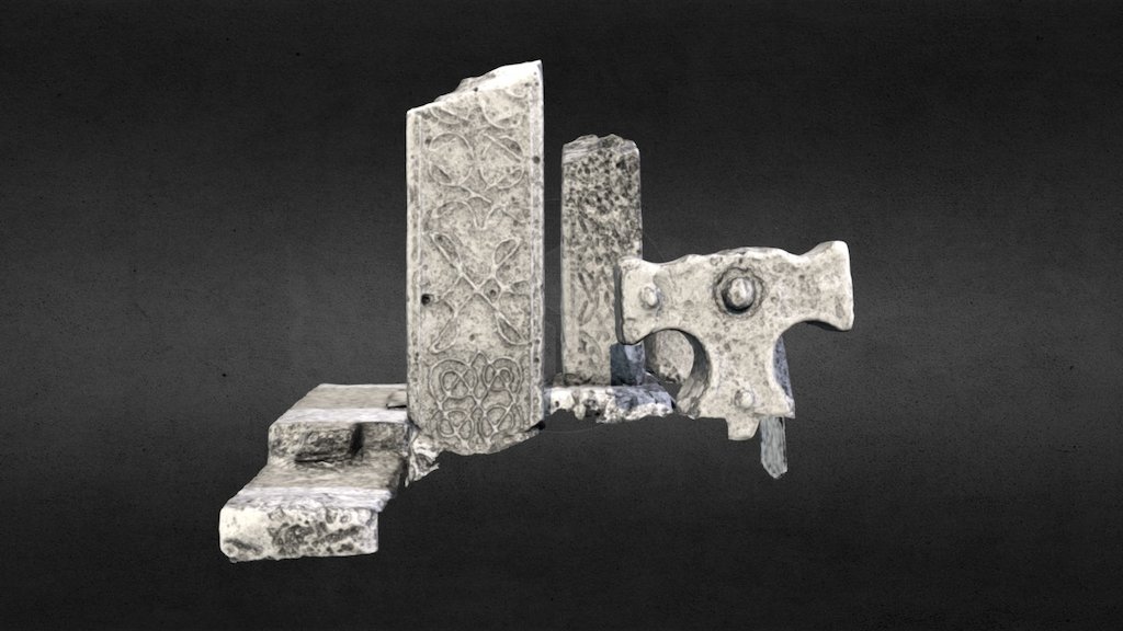 Emlagh CrossCross · 147 yd
 Emlagh WellHoly well · 344 yd
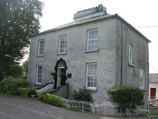 Longford Houserectory/glebe/vicarage/curate's house · 1666 yd
 Silver IslandIslet · 1.4 mi
 Workhouse MemorialMemorial · 1.5 mi
 Castlereagh HouseCastle, unclassified · 2.1 mi
 CastleCastle, Anglo-Norman masonry castle · 2.3 mi
 Clonalis HouseMuseum · 3.4 mi
 Coolougher WoodForest · 4.1 mi
 Site of Killomaine Grave YardArchaeological place · 6.3 mi
 Rook HillMountain / peak · 6.7 mi