What is recorded here
In a SE-NW valley on the SW side of a stream. It was known as Toar an Imbligh or St Brocaidh's Well and stations were performed during the last two weeks in August in the 19th century (Connellan 1948-9, 142-3; Hayward 1955, 212). Brocaidh of Imleach was a putative nephew of St Patrick (Ó Riain 2011, 126-7). This is a rectangular well surrounded by concrete walls (ext. dims 2.55m E-W; 1.6m N-S) with a gate on the E side. There is no evidence of veneration, but Emlagh church site (RO027-034001-), the location of an early monastery, is c. 220m to the SSW.
Compiled by: Michael Moore
Date of upload: 24 August 2010
Linked to St Brocaidh, the well was associated with pilgrimage and ritual activity, with stations performed in the last two weeks of August in the 19th century. The name "Toar an Imbligh" suggests a connection to winter or seasonal change in local tradition.
The monument record does not grant public access. Check the route and ask the landowner before entering private land.
- What survives
- Recorded monument
Places near here
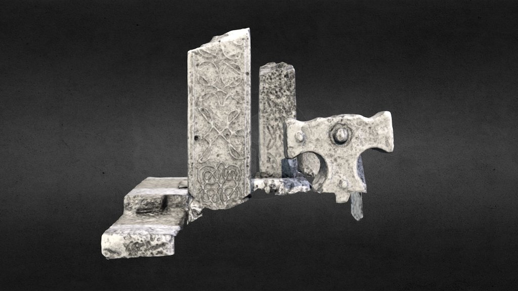 Emlagh CrossCross · 205 yd
 Church in Emlagh (castlereagh By., Castlereagh Ed)Church · 232 yd
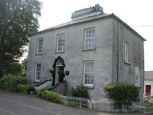 Longford Houserectory/glebe/vicarage/curate's house · 1484 yd
 Promontory fortPromontory fort, inland · 1.1 mi
 Silver IslandIslet · 1.3 mi
 Workhouse MemorialMemorial · 1.5 mi
 Castlereagh HouseCastle, unclassified · 2.0 mi
 CastleCastle, Anglo-Norman masonry castle · 2.3 mi
 Clonalis HouseMuseum · 3.4 mi
 Coolougher WoodForest · 4.2 mi
 Site of Killomaine Grave YardArchaeological place · 6.4 mi
 Rook HillMountain / peak · 6.9 mi
Other information
Photo: Credit not shown in the picture search · Rights wording not checked; contact us if this picture should be removed