What is recorded here
A mill is recorded on the Down Survey map of Lisnekilly parish (1655-6) at Dooneen, and it is described as in repair in the terrier. It was situated on the S-N Ballymoat stream close to where it enters the River Suir, but it remains unlocated.
Compiled by: Michael Moore
Date of upload: 07 June 2011
The monument record does not grant public access. Check the route and ask the landowner before entering private land.
- What survives
- Recorded monument
Places near here
 Enclosure in Adamstown (middlethird By., Kilmeadan Par.)Enclosure · 148 yd
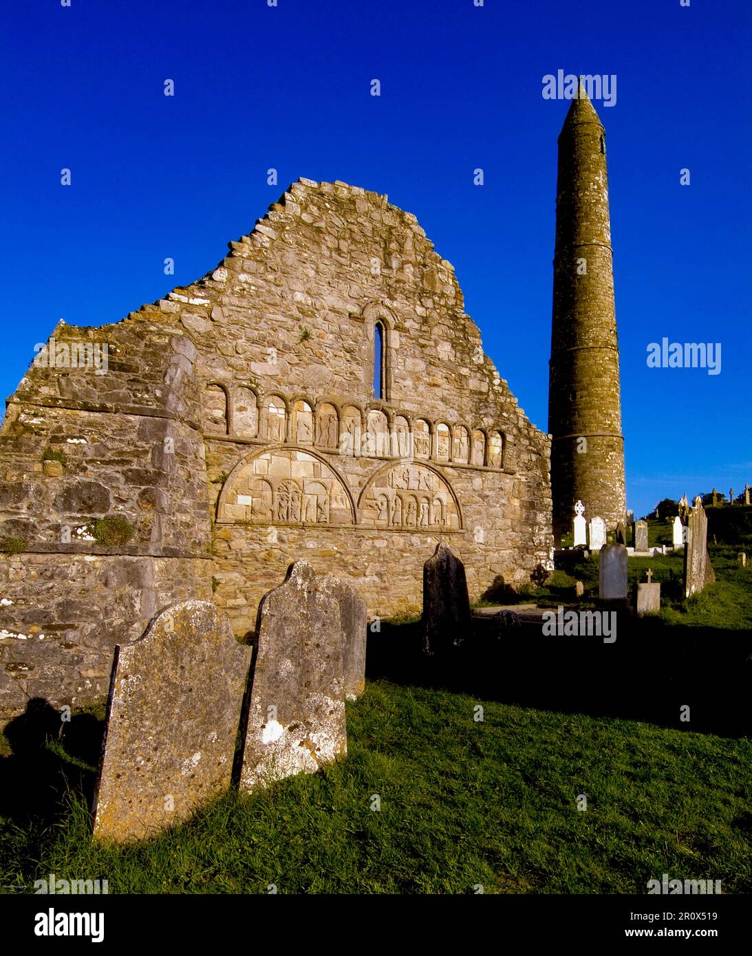 Kiln in Adamstown (middlethird By., Kilmeadan Par.)Kiln · 152 yd
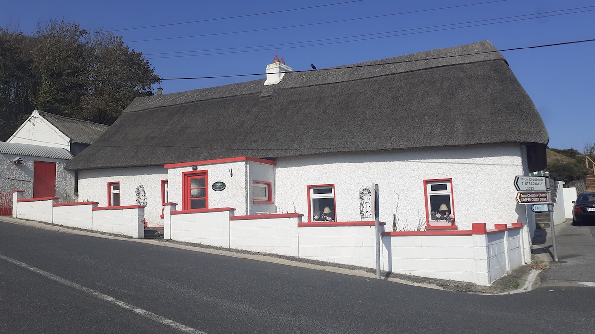 Hut site in Adamstown (middlethird By., Kilmeadan Par.)Hut site · 314 yd
 Monterey CypressMonterey Cypress · 657 yd
 Sweet micheliaSweet michelia · 671 yd
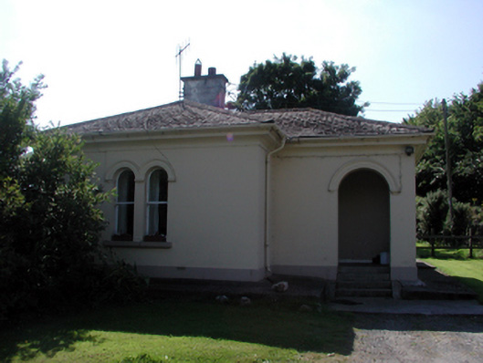 Whitfield Housegate lodge · 736 yd
 Mount Congreve GardensHeritage attraction · 879 yd
 Site of CastleCastle, unclassified · 1392 yd
 CastleCastle, unclassified · 1644 yd
 Waterford & Suir Valley RailwayHeritage attraction · 1.3 mi
 Ballyscanlon HillMountain / peak · 4.7 mi
 Donnell's HillMountain / peak · 5.2 mi