What is recorded here
A mill in repair is recorded on the terrier of the Down Survey map of Drumcannon parish (1655-56) at Garrancrobally, now called Crobally. A mill is marked on the Grand Jury map of Co. Waterford, dated 1819 at Crobally (NLI: 16 J 4), and a corn mill is markd ont he 1840 ed. of the OS 6-inch map close to the N edge of the townland, but it is not certain that it is the same mill.
Compiled by: Michael Moore
Date of upload/revision: 29 September 2011
The monument record does not grant public access. Check the route and ask the landowner before entering private land.
- What survives
- Recorded monument
Places near here
 Spring Farmhouse · 608 yd
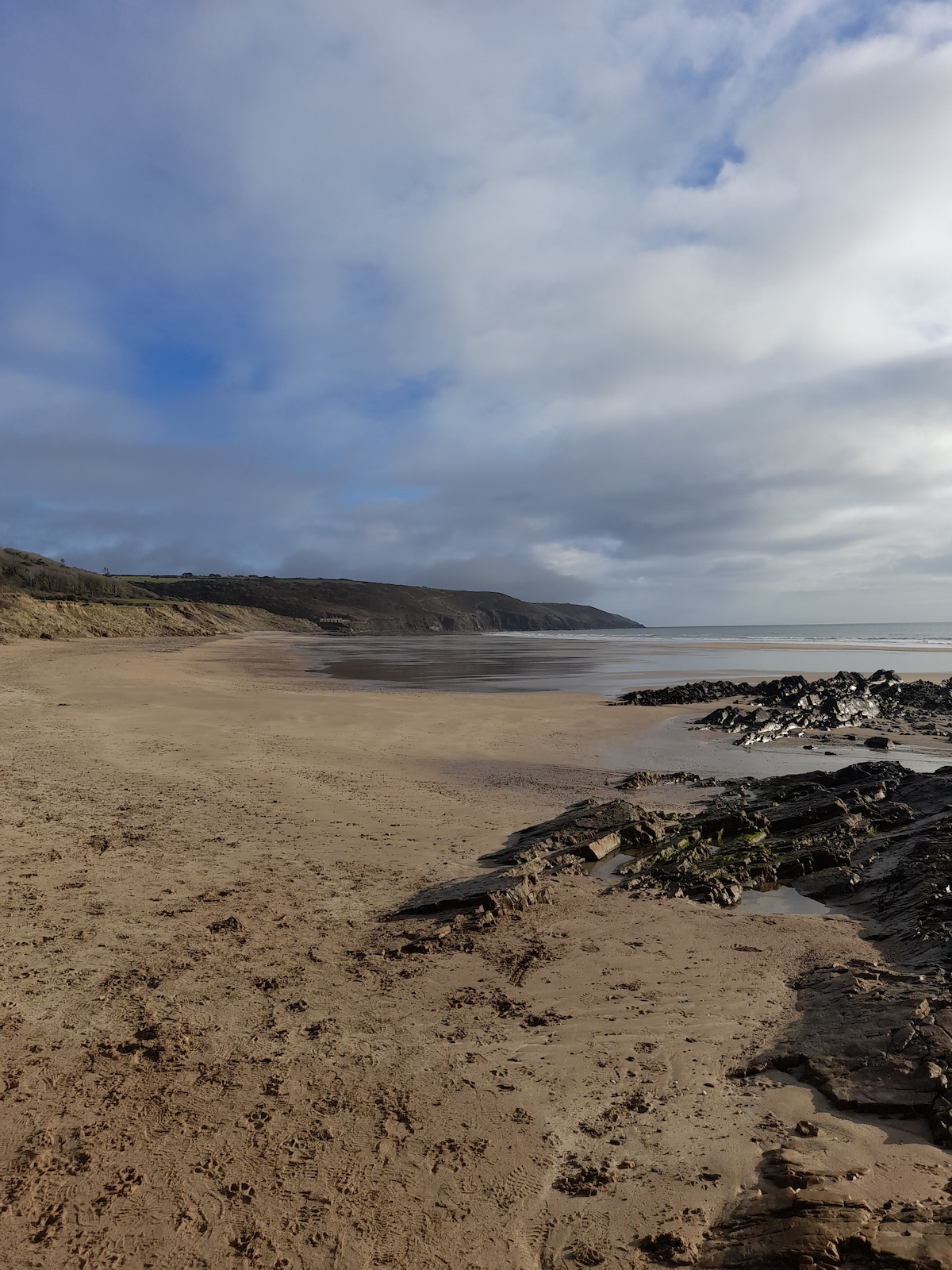 Enclosure in Crobally Upper (middlethird By.)Enclosure · 627 yd
 Pit-burial in Crobally Upper (decies-Within-Drum By.)Pit-burial · 640 yd
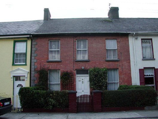 Dílis go Bráthhouse · 973 yd
 Tramore Tourist OfficeVisitor information · 1424 yd
 Tramore Dunes WalkWalking route · 1548 yd
 Tourist InformationVisitor information · 1564 yd
 Cannon GunBattlefield · 1.2 mi
 Doneraile WalkWalking route · 1.3 mi
 Tramore StrandBeach / strand · 1.5 mi
 Cullen Castle (in ruins)Castle, tower house · 1.9 mi