What is recorded here
Unlocated mill within the barony of Ballyboy which depicts a possible castle (OF032-023001-) beside a mill on an early 17th centurymap of the barony of Ballyboy (National Archives UK MPF 268; Loeber 1988, 27). On this early 17th century map a mill and castle or tower like building are depicted standing on the W bank of a stream to the SSW of the medieval church (OF032-005001-) of Killoughy. This would place the mill and castle in the S quadrant of the townland of Killoughy or in the adjoining townland of Clonseer. A Corn Mill marked in this area on the first edition of the OS 6-inch map may have been located on the site of the mill or in close vicinity of mill on the 17th century map.
The above description is derived from the published 'Archaeological Inventory of County Offaly' (Dublin: Stationery Office, 1997). In certain instances the entries have been revised and updated in the light of recent research.
Compiled by Caimin O'Brien
Date of upload: 21 June 2010
The monument record does not grant public access. Check the route and ask the landowner before entering private land.
- What survives
- Recorded monument
Places near here
 Church (in Ruins), Grave YardChurch · 651 yd
 CairnCairn, wayside cairn · 871 yd
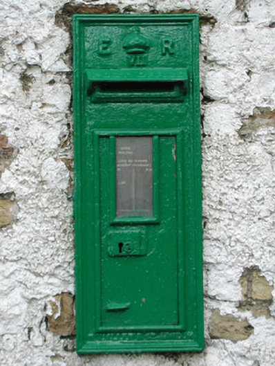 post boxpost box · 980 yd
 Enclosure in RathrobinEnclosure · 1.2 mi
 Rathrobiin Castle in RuinsCastle, unclassified · 1.5 mi
 Castle Cuffe (ruins)Castle · 1.9 mi
 Kilmanman church (in Ruins), GraveyardChurch · 2.3 mi
 Church (in Ruins), Graveyard, CarrigeenChurch · 2.8 mi
 Lowerton HillMountain / peak · 3.1 mi
 Mullagh HillMountain / peak · 3.2 mi
 Mahon's WoodWood · 3.8 mi
 Bridge WoodWood · 4.0 mi