What is recorded here
The Down Survey (1655-6) Barony map shows a mill on the W side of Ballyrobin townland. The mill is shown immediately to the E of a river and depicted as having a single wheel. Local enquiries and an inspection of the area in 1992 failed to locate this mill.
The above description is derived from 'The Archaeological Inventory of County Cork. Volume 5' (Dublin: Stationery Office, 2009).
Date of upload: 22 December 2009
The monument record does not grant public access. Check the route and ask the landowner before entering private land.
- What survives
- Recorded monument
Places near here
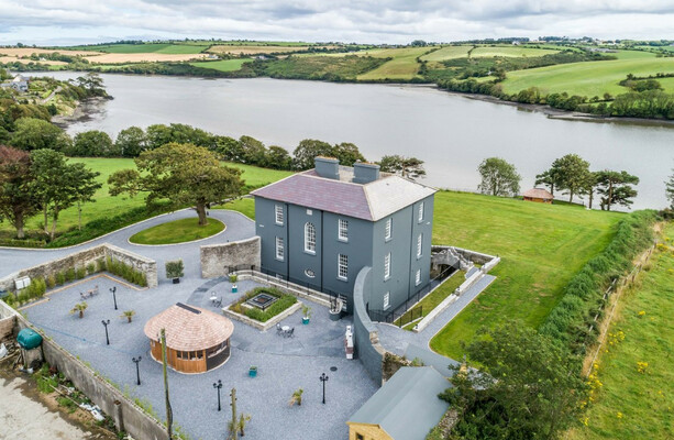 LissowenEnclosure · 745 yd
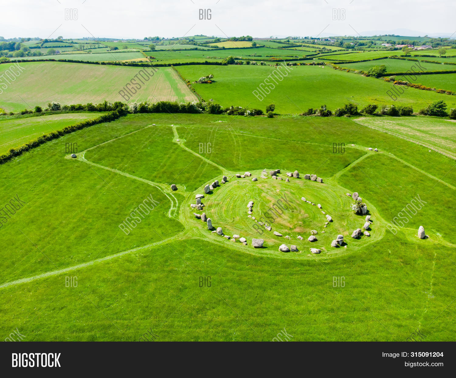 Prehistoric sitePrehistoric site, lithic scatter · 919 yd
 Ballycroneen BeachBeach / strand · 922 yd
 Ballybrannigan BeachBeach / strand · 1.1 mi
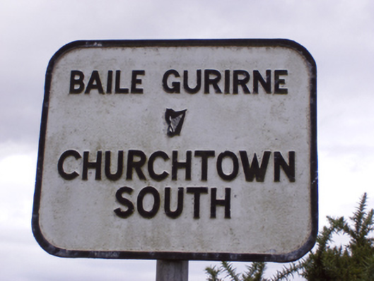 sign postsign post · 1.3 mi
 Anchor The SagaMemorial · 1.4 mi
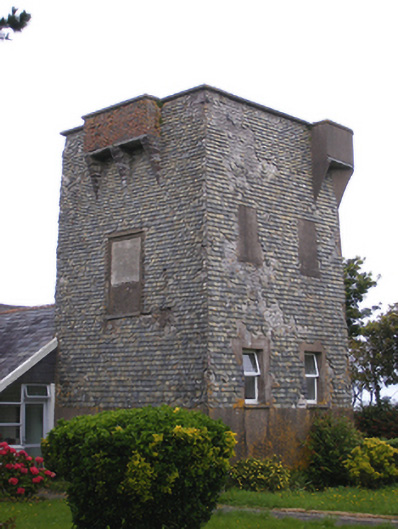 Ballmacotter Castlesignal tower · 1.6 mi
 Doonpower (in Ruins)Castle, unclassified · 3.1 mi
 RobertMemorial · 3.5 mi
 Fossil Worm TrackNamed rock · 3.5 mi
 PohutukawaPohutukawa · 3.6 mi
 Sweet ChestnutSweet Chestnut · 3.6 mi