What is recorded here
A mill in repair is recorded on the terrier of the Down Survey map of Reisk parish (1655-56) at Ballyphillip. It remains unlocated.
Compiled by: Michael Moore.
Date of upload: 8th June, 2011.
The monument record does not grant public access. Check the route and ask the landowner before entering private land.
- What survives
- Recorded monument
Places near here
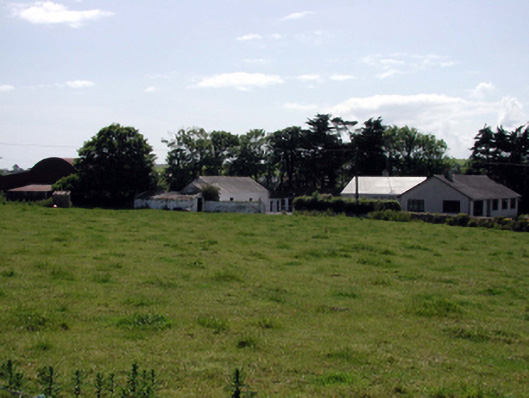 farmyard complexfarmyard complex · 221 yd
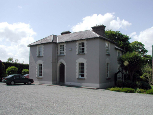 presbytery/parochial/curate's housepresbytery/parochial/curate's house · 421 yd
 Site of R. C. ChapelChurch · 678 yd
 Burnt mound in ArdnahowBurnt mound · 910 yd
 Fenor BogNature reserve · 1.4 mi
 Castle (in ruins)Castle, tower house · 1.4 mi
 Dunhill CastleCastle · 1.4 mi
 Ballyscanlon HillMountain / peak · 1.5 mi
 Annestown monumentMemorial · 2.2 mi
 St. Martin's WellSpring · 2.4 mi
 Lime KilnVisitor information · 2.7 mi
 Annestown BeachBeach / strand · 2.7 mi