
What is recorded here
The Down Survey (1655-6) map shows a mill at the north end of Swords village. The corn mill marked on the first edition OS 6-inch map probably occupies the site. A painting by George Holmes c.1790 illustrates a mill wheel to the south of the bridge which is marked on cartographic sources as the Mill bridge. There is a weir at this point in the river. Photographs of a mill wheel and weir from c.1900 are in the National Library collections. A millrace runs along the west side of Swords Castle.
Compiled by: Geraldine Stout
Updated by: Christine Baker
Date of upload: 08 January 2015
The monument record does not grant public access. Check the route and ask the landowner before entering private land.
- What survives
- Recorded monument
Places near here
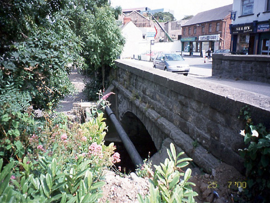 Mill Bridgebridge · 20 yd
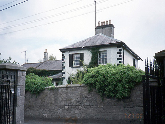 Ard Druimhouse · 107 yd
 Fingal Tourism OfficeVisitor information · 137 yd
 Tower (in ruins), Castle and ChapelCastle, Anglo-Norman masonry castle · 141 yd
 Swords CastleCastle · 143 yd
 Man-made underground passage in Townparks (nethercross By.)Man-made underground passage · 167 yd
 Historic town in Miltonsfields,swords Demesne,windmill LandsHistoric town · 168 yd
 Swords Round TowerHeritage attraction · 272 yd
 St Colmcilles WellVisitor information · 407 yd
 Kim Archibold MemorialMemorial · 1255 yd
 The JackoWood · 1382 yd
 St Cronans WellSpring · 1752 yd
Other information
Photo: Credit not shown in the picture search · Rights wording not checked; contact us if this picture should be removed