What is recorded here
Middle Hill Plantation is shown as a forest on the public map of Somerset. The saved point is the map point or the centre of its mapped shape.
This does not grant access. Check current paths, opening conditions and ownership before entering.
Places near here
 Washbattle Mill PondOld home or work place · 1591 yd
 Gauth HouseListed building · 1623 yd
 Chubworthy CrossVisitor information · 1.1 mi
 Waysdown CopseWood · 1.7 mi
 Chipstable: south east to the Wellington MonumentHeritage place · 2.1 mi
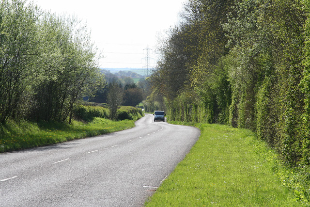 Clayhanger: the B3227 at Leigh WoodForest or wood · 2.2 mi
 Wiveliscombe: Golden HillMountain or hill · 2.5 mi
 Boundary StoneMonument or public art · 3.4 mi
_-_geograph.org.uk_-_94664.jpg?width=1280) Upton farm and derelict church (only tower remains)Castle, fort or tower · 3.9 mi
Upton farm and derelict church (only tower remains)Castle, fort or tower · 3.9 mi Sculpture, AshbrittlePublic sculpture · 4.1 mi
 Small cave at West Park CovertCave or cavern · 4.2 mi
 Clayhanger: site of Roman fortCastle, fort or tower · 4.2 mi